File:Uscanadaboundary.jpg

Size of this preview: 800 × 600 pixels. Other resolutions: 320 × 240 pixels | 640 × 480 pixels | 1,024 × 768 pixels | 1,280 × 960 pixels | 2,048 × 1,536 pixels.
Original file (2,048 × 1,536 pixels, file size: 1.38 MB, MIME type: image/jpeg)
Captions
Captions
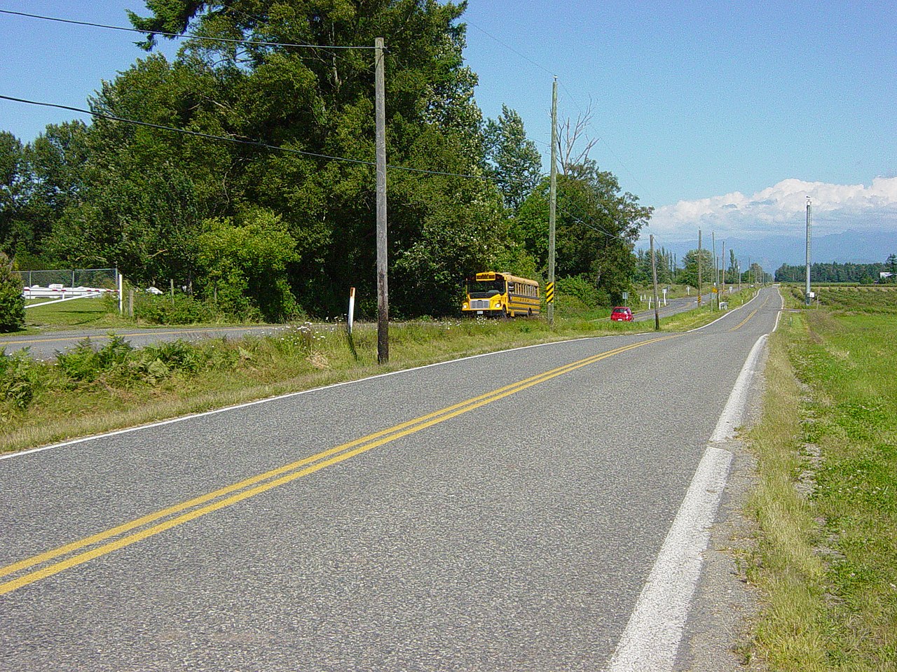
Boundary Road in Whatcom County, WA; 0 Avenue in Abbotsford BC.
Summary edit
| Description |
English: A ditch between parallel roads separates the boundary between Canada and the USA. Taken a few miles North of Lynden, Washington and just South of Aldergrove, British Columbia. On the right is the microwave tower used by Homeland Security in the USA to monitor traffic across the border. |
||
| Date | Taken on 22 June 2006, 15:36 | ||
| Source | Own work | ||
| Author | Dtbrown | ||
| Permission (Reusing this file) |
|
| Camera location | | View this and other nearby images on: OpenStreetMap |
|---|
File history
Click on a date/time to view the file as it appeared at that time.
| Date/Time | Thumbnail | Dimensions | User | Comment | |
|---|---|---|---|---|---|
| current | 03:27, 31 January 2007 | | 2,048 × 1,536 (1.38 MB) | Dtbrown (talk | contribs) | A ditch between parallel roads separates the boundary between Canada and the USA. Taken a few miles North of Lynden, Washington and just South of Aldergrove, British Columbia. I took this picture on June 22, 2006. |
You cannot overwrite this file.
File usage on Commons
There are no pages that use this file.
File usage on other wikis
The following other wikis use this file:
- Usage on de.wikipedia.org