File:Utena, Lithuania - panoramio (144).jpg

Size of this preview: 800 × 239 pixels. Other resolutions: 320 × 96 pixels | 640 × 191 pixels | 1,024 × 306 pixels | 1,280 × 383 pixels | 5,847 × 1,748 pixels.
Original file (5,847 × 1,748 pixels, file size: 2.92 MB, MIME type: image/jpeg)
Captions
Captions
Add a one-line explanation of what this file represents
Summary edit
.jpg&action=edit§ion=1)
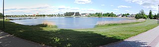
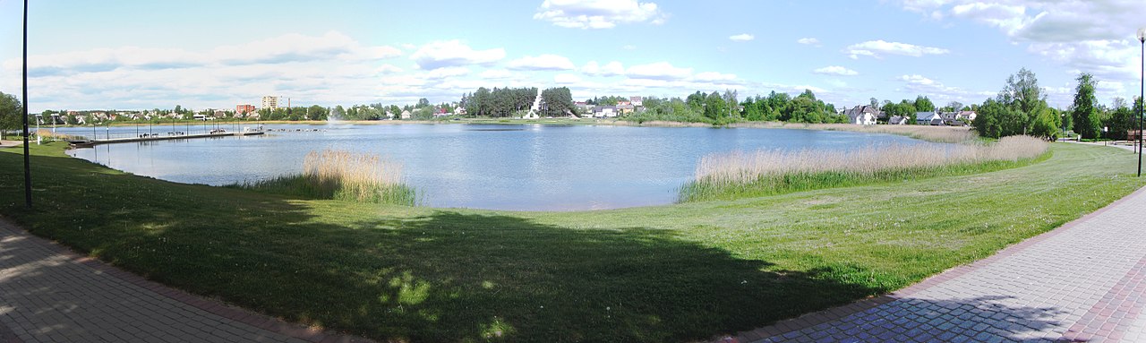
| Description | Utena, Lithuania | ||
| Date | Taken on 22 May 2016 | ||
| Source | https://www.panoramio.com/photo/131733562 | ||
| Author | VietovesLt | ||
| Permission (Reusing this file) |
This file is licensed under the Creative Commons Attribution 3.0 Unported license. Attribution: VietovesLt
|
||
| Panoramio Tags | Utena, Panorama |
| Camera location | | View this and other nearby images on: OpenStreetMap |
|---|
.jpg¶ms=055.502832_N_0025.603094_E_globe:Earth_type:camera_source:Panoramio_&language=en)
File history
Click on a date/time to view the file as it appeared at that time.
| Date/Time | Thumbnail | Dimensions | User | Comment | |
|---|---|---|---|---|---|
| current | 09:05, 13 July 2017 | 5,847 × 1,748 (2.92 MB) | Panoramio upload bot (talk | contribs) | == {{int:filedesc}} == {{Information |description=Utena, Lithuania |date={{Taken on|2016-05-22}} |source=http://www.panoramio.com/photo/131733562 |author=[http://www.panoramio.com/user/8209965?with_photo_id=131733562 VietovesLt] |permission={{cc-by-3.0... |
You cannot overwrite this file.
File usage on Commons
There are no pages that use this file.
File usage on other wikis
The following other wikis use this file:
- Usage on uk.wikipedia.org
.jpg&oldid=665049377)