File:Uzbekistan districts.png

Size of this preview: 800 × 531 pixels. Other resolutions: 320 × 213 pixels | 640 × 425 pixels | 1,024 × 680 pixels | 1,281 × 851 pixels.
Original file (1,281 × 851 pixels, file size: 35 KB, MIME type: image/png)
Captions
Captions
Add a one-line explanation of what this file represents
Summary edit
| Description |
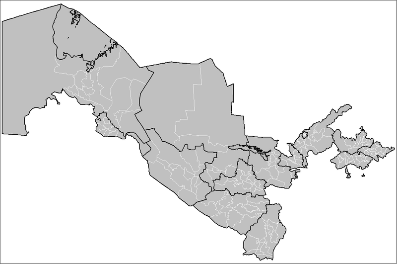
English: Map of the districts (tuman) of Uzbekistan. |
| Date | 9/24/08 |
| Source | Own work |
| Author | Rarelibra |
Licensing edit
| I, the copyright holder of this work, release this work into the public domain. This applies worldwide. In some countries this may not be legally possible; if so: I grant anyone the right to use this work for any purpose, without any conditions, unless such conditions are required by law. |
File history
Click on a date/time to view the file as it appeared at that time.
| Date/Time | Thumbnail | Dimensions | User | Comment | |
|---|---|---|---|---|---|
| current | 15:20, 20 October 2008 | | 1,281 × 851 (35 KB) | Rarelibra (talk | contribs) | updated image with district boundary corrections Category:Maps of Uzbekistan Category:Districts of Uzbekistan |
| 18:17, 24 September 2008 |  | 1,281 × 851 (34 KB) | Rarelibra (talk | contribs) | {{Information |Description={{en|1=Map of the districts (raoni) of Uzbekistan.}} |Source=Own work by uploader |Author=Rarelibra |Date=9/24/08 |Permission= |other_versions= }} <!--{{ImageUpload|full}}--> Category:Maps of Uzbekistan |
You cannot overwrite this file.
File usage on Commons
The following 4 pages use this file:
File usage on other wikis
The following other wikis use this file:
- Usage on ar.wikipedia.org
- Usage on en.wikipedia.org
- Usage on es.wikipedia.org
- Usage on fa.wikipedia.org
- Usage on it.wikipedia.org
- Usage on ka.wikipedia.org
- Usage on ms.wikipedia.org
- Usage on ur.wikipedia.org
- Usage on uz.wikipedia.org