File:Vallon du Lauzannier, Parc du Mercantour, Alpes de Haute Provence 04.jpg

Size of this preview: 800 × 600 pixels. Other resolutions: 320 × 240 pixels | 640 × 480 pixels | 1,024 × 768 pixels | 1,280 × 960 pixels | 2,560 × 1,920 pixels | 4,128 × 3,096 pixels.
Original file (4,128 × 3,096 pixels, file size: 4.99 MB, MIME type: image/jpeg)
Captions
Captions
Add a one-line explanation of what this file represents
Summary edit
| Description |
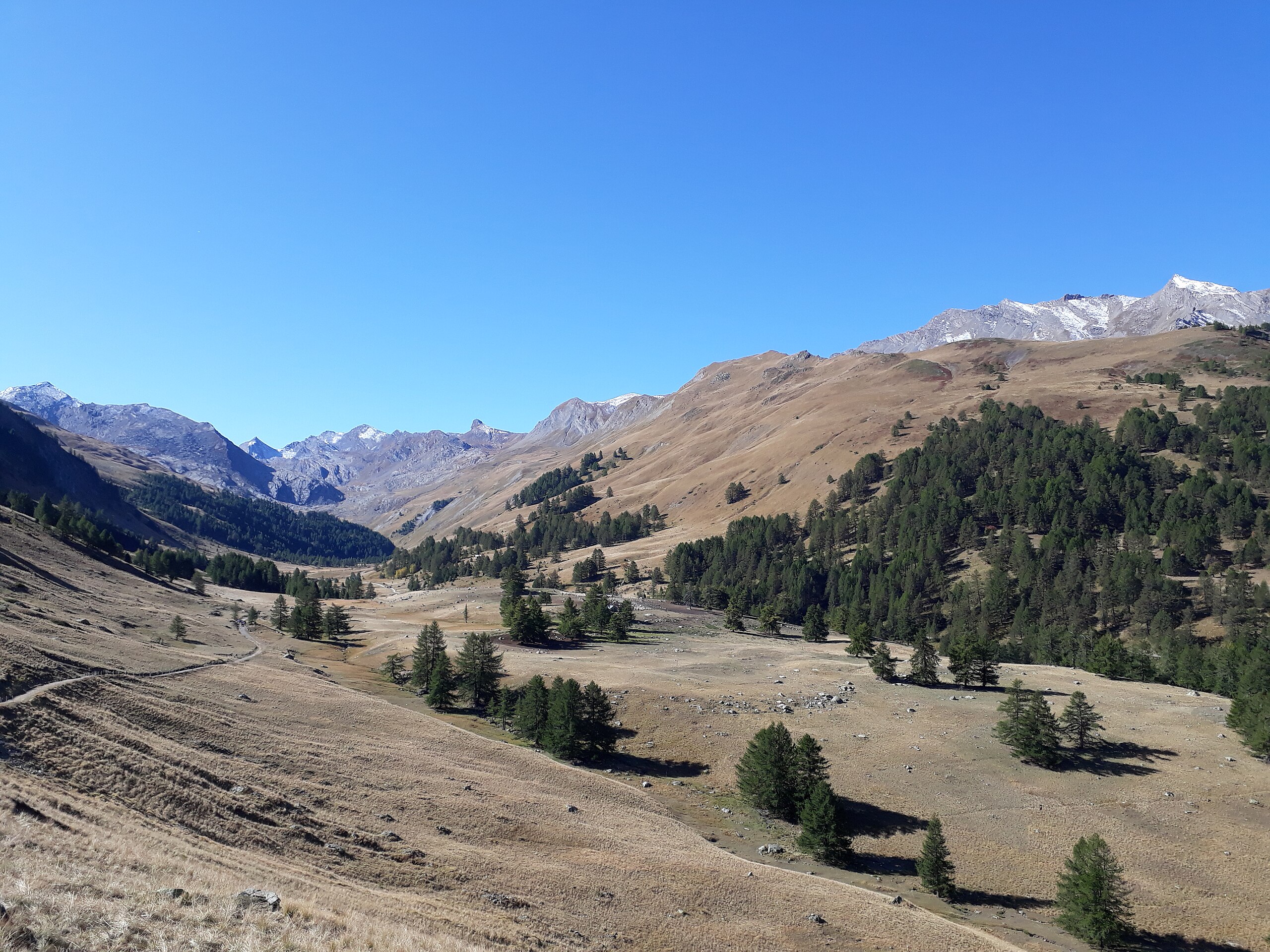
Français : Sur la route de l'Italie, en partant de Barcelonnette, on trouve au sommet du Col de Larche le vallon du Lauzannier. Ce vallon très fréquenté par les touristes en raison de la flore et la faune (mammifères et avifaune) qu'il regroupe est en majeure partie englobé par le parc national du Mercantour, une réserve de biosphère incomparable au niveau de sa biodiversité et du paysage qu'elle offre ! |
| Date | |
| Source | Own work |
| Author | Marbrasse |
| Camera location | | View this and other nearby images on: OpenStreetMap |
|---|
Licensing edit
I, the copyright holder of this work, hereby publish it under the following license:
This file is licensed under the Creative Commons Attribution-Share Alike 4.0 International license.
- You are free:
- to share – to copy, distribute and transmit the work
- to remix – to adapt the work
- Under the following conditions:
- attribution – You must give appropriate credit, provide a link to the license, and indicate if changes were made. You may do so in any reasonable manner, but not in any way that suggests the licensor endorses you or your use.
- share alike – If you remix, transform, or build upon the material, you must distribute your contributions under the same or compatible license as the original.
This image was uploaded as part of Wiki Loves Earth 2019.
|
 |
File history
Click on a date/time to view the file as it appeared at that time.
| Date/Time | Thumbnail | Dimensions | User | Comment | |
|---|---|---|---|---|---|
| current | 07:08, 15 May 2019 | | 4,128 × 3,096 (4.99 MB) | Marbrasse (talk | contribs) | User created page with UploadWizard |
You cannot overwrite this file.
File usage on Commons
The following 2 pages use this file: