File:Varanasi 234d - Brahma ghat (33991626113 - cropped) The Highest Flood Level 2013 marked on the wall..jpg
Size of this preview: 450 × 600 pixels. Other resolutions: 180 × 240 pixels | 360 × 480 pixels | 957 × 1,276 pixels.
Original file (957 × 1,276 pixels, file size: 357 KB, MIME type: image/jpeg)
Captions
Captions
Add a one-line explanation of what this file represents
Summary edit
| Description |
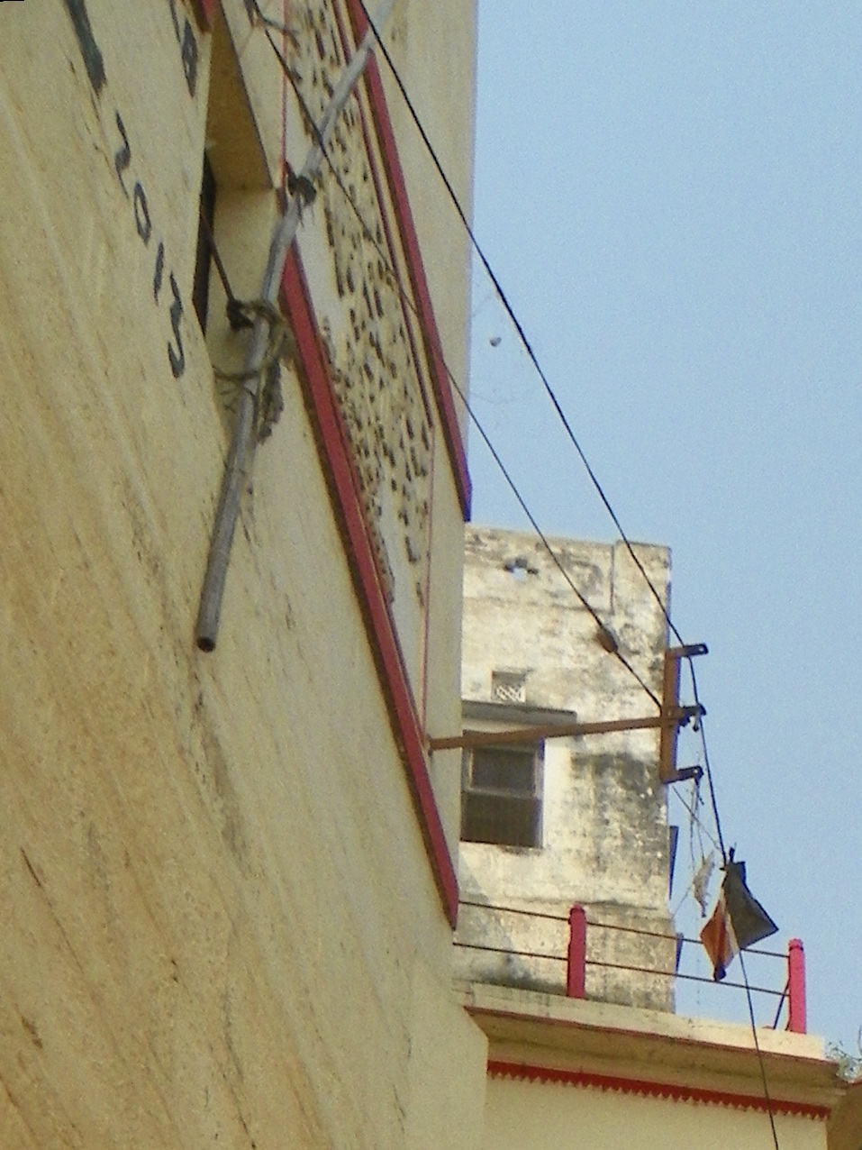
Ghats - embankments along the holy river Ganges. The Highest Flood Level 2013 marked on the wall of monastery visible in the left upper corner. 2015in05-4vrns_083 |
| Date | |
| Source | Varanasi 234d - Brahma ghat |
| Author | juggadery |
| Other versions |
.jpg)
_The_Highest_Flood_Level_2013_marked_on_the_wall..jpg&action=edit§ion=1)
| Camera location | | View this and other nearby images on: OpenStreetMap |
|---|
_The_Highest_Flood_Level_2013_marked_on_the_wall..jpg¶ms=025.316107_N_0083.019229_E_globe:Earth_type:camera_source:Flickr_&language=en)
Licensing edit
_The_Highest_Flood_Level_2013_marked_on_the_wall..jpg&action=edit§ion=2)
This file is licensed under the Creative Commons Attribution-Share Alike 2.0 Generic license.
- You are free:
- to share – to copy, distribute and transmit the work
- to remix – to adapt the work
- Under the following conditions:
- attribution – You must give appropriate credit, provide a link to the license, and indicate if changes were made. You may do so in any reasonable manner, but not in any way that suggests the licensor endorses you or your use.
- share alike – If you remix, transform, or build upon the material, you must distribute your contributions under the same or compatible license as the original.
File history
Click on a date/time to view the file as it appeared at that time.
| Date/Time | Thumbnail | Dimensions | User | Comment | |
|---|---|---|---|---|---|
| current | 21:29, 2 July 2019 | | 957 × 1,276 (357 KB) | Oo91 (talk | contribs) | File:Varanasi 234d - Brahma ghat (33991626113).jpg cropped 70 % horizontally, 70 % vertically, rotated -2.43° using CropTool with precise mode. |
You cannot overwrite this file.
File usage on Commons
The following page uses this file:
_The_Highest_Flood_Level_2013_marked_on_the_wall..jpg&oldid=698536174)