File:View over Taupo and Lake Taupo from Mount Tauhara.jpg
Size of this preview: 800 × 600 pixels. Other resolutions: 320 × 240 pixels | 640 × 480 pixels | 1,024 × 768 pixels.
Original file (1,024 × 768 pixels, file size: 322 KB, MIME type: image/jpeg)
Captions
Captions
Add a one-line explanation of what this file represents
Summary edit
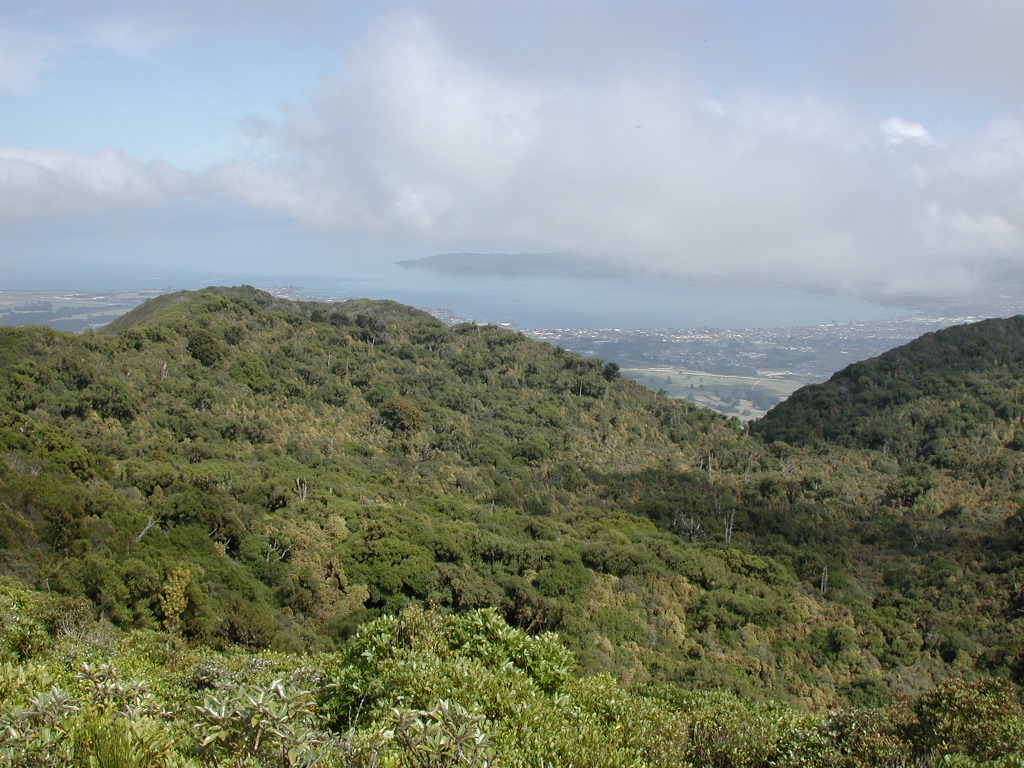
| Description | View from top of Mount Tauhara towards Taupo and Lake Taupo. |
| Date | |
| Source | Own work |
| Author | Pseudopanax at English Wikipedia |
| Camera location | | View this and other nearby images on: OpenStreetMap |
|---|
Licensing edit
| I, the copyright holder of this work, release this work into the public domain. This applies worldwide. In some countries this may not be legally possible; if so: I grant anyone the right to use this work for any purpose, without any conditions, unless such conditions are required by law. |
File history
Click on a date/time to view the file as it appeared at that time.
| Date/Time | Thumbnail | Dimensions | User | Comment | |
|---|---|---|---|---|---|
| current | 03:29, 28 October 2010 | | 1,024 × 768 (322 KB) | Pseudopanax (talk | contribs) | == {{int:filedesc}} == {{Information |Description=View from top of Mount Tauhara towards Taupo and Lake Taupo. |Source={{Own}} |Date=2010-09-28 |Author=Pseudopanax at [http://en. |
You cannot overwrite this file.
File usage on Commons
There are no pages that use this file.