File:VijayanagarGreatest1335-1570.png

Size of this preview: 800 × 500 pixels. Other resolutions: 320 × 200 pixels | 640 × 400 pixels | 1,024 × 640 pixels | 1,554 × 972 pixels.
Original file (1,554 × 972 pixels, file size: 55 KB, MIME type: image/png)
Captions
Captions
Add a one-line explanation of what this file represents
Summary edit
| Description |
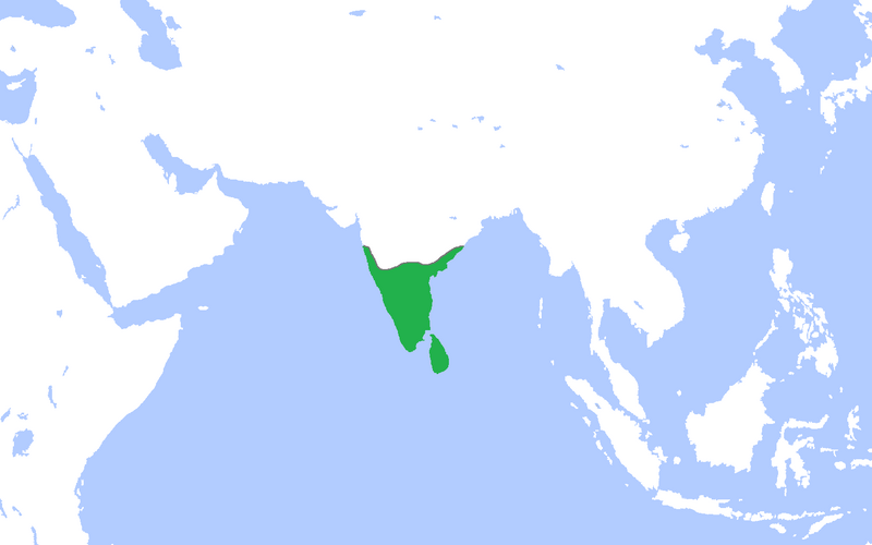
English: Locator map of the Vijayanagar Empire at its peak.
(Partially based on Atlas of World History (2007) - South and Southeast Asia, States and Empires 300-1525, map) |
| Date | |
| Source | Own work |
| Author | Gabagool |
Licensing edit
I, the copyright holder of this work, hereby publish it under the following license:
This file is licensed under the Creative Commons Attribution 3.0 Unported license.
- You are free:
- to share – to copy, distribute and transmit the work
- to remix – to adapt the work
- Under the following conditions:
- attribution – You must give appropriate credit, provide a link to the license, and indicate if changes were made. You may do so in any reasonable manner, but not in any way that suggests the licensor endorses you or your use.
File history
Click on a date/time to view the file as it appeared at that time.
| Date/Time | Thumbnail | Dimensions | User | Comment | |
|---|---|---|---|---|---|
| current | 15:39, 24 April 2009 | | 1,554 × 972 (55 KB) | Gabagool (talk | contribs) | {{Information |Description={{en|1=Locator map of the Vijayanagar Empire at its peak. (Partially based on ''Atlas of World History'' (2007) - South and Southeast Asia, States and Empires 300-1525, map)}} |Source=Own work by uploader |Author=[[User:Gabagoo |
You cannot overwrite this file.
File usage on Commons
There are no pages that use this file.
File usage on other wikis
The following other wikis use this file:
- Usage on fr.wikipedia.org