File:Village of Ramberg - 2013.08.jpg

Size of this preview: 800 × 533 pixels. Other resolutions: 320 × 213 pixels | 640 × 427 pixels | 1,024 × 683 pixels | 1,280 × 853 pixels | 2,560 × 1,707 pixels | 4,608 × 3,072 pixels.
Original file (4,608 × 3,072 pixels, file size: 2.7 MB, MIME type: image/jpeg)
Captions
Captions
Add a one-line explanation of what this file represents
Summary edit
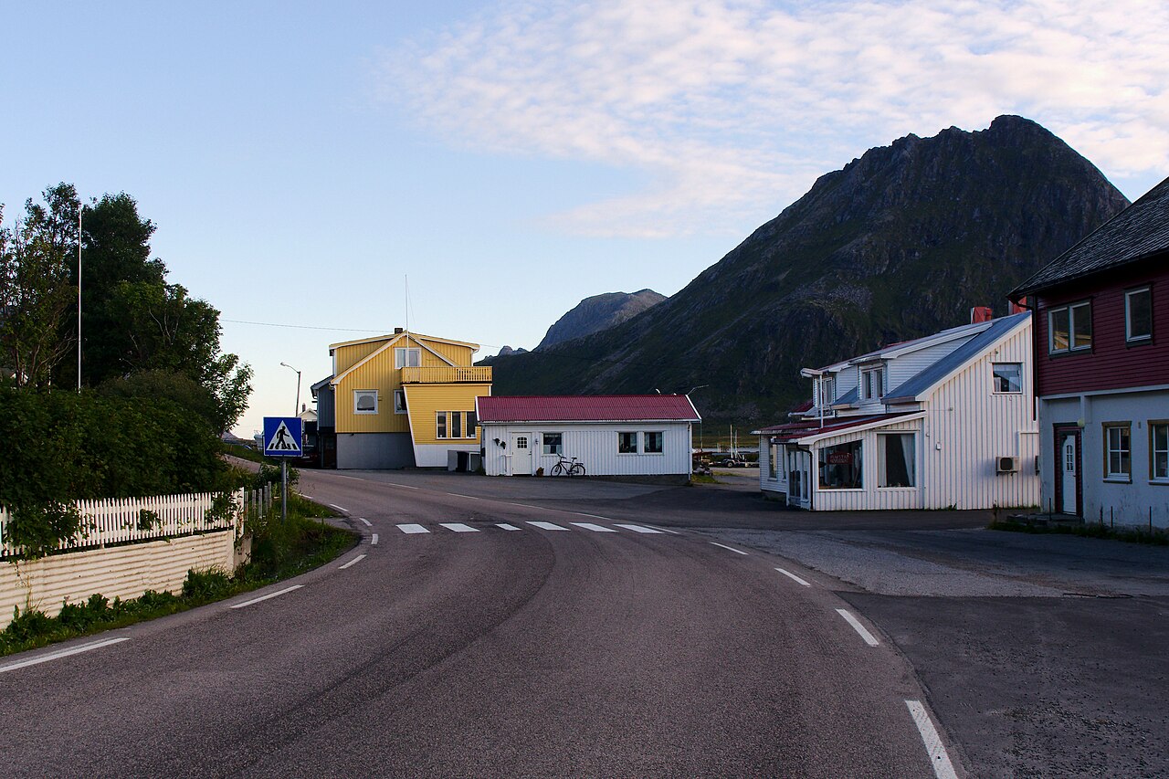
| Description | Village of Ramberg - 2013.08 |
| Date | |
| Source | Village of Ramberg - 2013.08 |
| Author | rheins |
| Camera location | | View this and other nearby images on: OpenStreetMap |
|---|
Licensing edit
This file is licensed under the Creative Commons Attribution 3.0 Unported license.
- You are free:
- to share – to copy, distribute and transmit the work
- to remix – to adapt the work
- Under the following conditions:
- attribution – You must give appropriate credit, provide a link to the license, and indicate if changes were made. You may do so in any reasonable manner, but not in any way that suggests the licensor endorses you or your use.
| This image was originally posted to Panoramio by rheins at https://www.panoramio.com/photo/119909260. It was reviewed on 26 January 2016 by the Panoramio Review Bot robot and was confirmed to be licensed under the terms of the cc-by-3.0. |
File history
Click on a date/time to view the file as it appeared at that time.
| Date/Time | Thumbnail | Dimensions | User | Comment | |
|---|---|---|---|---|---|
| current | 15:34, 26 January 2016 | | 4,608 × 3,072 (2.7 MB) | Blue Elf (talk | contribs) | {{Information |Description=Village of Ramberg - 2013.08 |Source=[http://www.panoramio.com/photo/119909260 Village of Ramberg - 2013.08] |Date=2013-08-15 19:25 |Author=[http://www.panoramio.com/user/5226993 rheins] |Permission= |other_versions= }} {{Loc... |
You cannot overwrite this file.
File usage on Commons
There are no pages that use this file.
File usage on other wikis
The following other wikis use this file:
- Usage on nl.wikipedia.org