File:Virginia 1612 map.jpg
Size of this preview: 774 × 600 pixels. Other resolutions: 310 × 240 pixels | 619 × 480 pixels.
Original file (800 × 620 pixels, file size: 170 KB, MIME type: image/jpeg)
Captions
Captions
Add a one-line explanation of what this file represents
Summary edit
| Description |
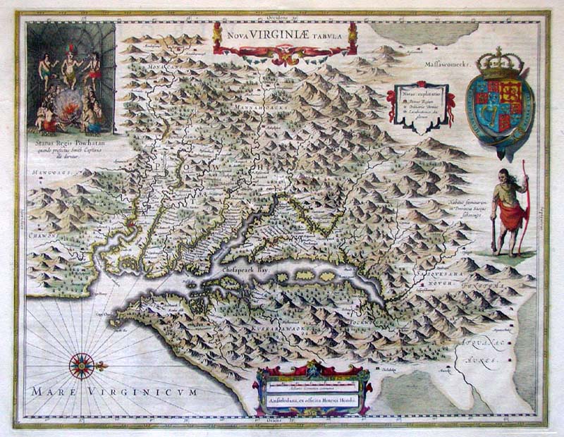
1612 map of Virginia, eastern North America.
|
| Date | |
| Source | |
| Author | John Smith, Henricus Hondius |
Licensing edit
|
This is a faithful photographic reproduction of a two-dimensional, public domain work of art. The work of art itself is in the public domain for the following reason:
The official position taken by the Wikimedia Foundation is that "faithful reproductions of two-dimensional public domain works of art are public domain".
This photographic reproduction is therefore also considered to be in the public domain in the United States. In other jurisdictions, re-use of this content may be restricted; see Reuse of PD-Art photographs for details. | ||||
Original upload log edit
The original description page was here. All following user names refer to en.wikipedia.
- 2007-11-24 18:32 Patrickneil 800×620× (174540 bytes) This map was based on John Smith's 1612 map of the Virginia colony, and was colored in by Henricus Hondius in 1639. Source: http://www.marshall.edu/library/speccoll/virtual_museum/weaver/map2.asp [[Category:Virginia maps]]
File history
Click on a date/time to view the file as it appeared at that time.
| Date/Time | Thumbnail | Dimensions | User | Comment | |
|---|---|---|---|---|---|
| current | 05:55, 14 September 2012 | | 800 × 620 (170 KB) | OgreBot (talk | contribs) | (BOT): Uploading old version of file from en.wikipedia; originally uploaded on 2007-11-24 18:32:51 by Patrickneil |
| 07:12, 29 July 2011 |  | 774 × 600 (152 KB) | Harfang (talk | contribs) | {{Information |Description={{en|This map was based on John Smith's 1612 map of the Virginia colony, and was colored in by Henricus Hondius in 1639. Source: http://www.marshall.edu/library/speccoll/virtual_m |
You cannot overwrite this file.
File usage on Commons
There are no pages that use this file.
File usage on other wikis
The following other wikis use this file:
- Usage on fr.wikipedia.org
- Usage on tr.wikipedia.org