File:Vista su Cravasco - panoramio.jpg

Size of this preview: 800 × 281 pixels. Other resolutions: 320 × 112 pixels | 640 × 225 pixels | 1,024 × 360 pixels | 2,563 × 900 pixels.
Original file (2,563 × 900 pixels, file size: 818 KB, MIME type: image/jpeg)
Captions
Captions
Add a one-line explanation of what this file represents
Summary edit
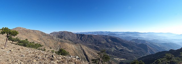
| Description | Vista su Cravasco | ||
| Date | 25 January 2011 (original upload date) | ||
| Source | https://web.archive.org/web/20161016205207/http://www.panoramio.com/photo/47078360 | ||
| Author | Terensky | ||
| Permission (Reusing this file) |
This file is licensed under the Creative Commons Attribution 3.0 Unported license. Attribution: Terensky
|
| Camera location | | View this and other nearby images on: OpenStreetMap |
|---|

|
The categories of this image need checking. You can do so here.
|
File history
Click on a date/time to view the file as it appeared at that time.
| Date/Time | Thumbnail | Dimensions | User | Comment | |
|---|---|---|---|---|---|
| current | 18:15, 8 November 2016 | 2,563 × 900 (818 KB) | Panoramio upload bot (talk | contribs) | {{Information |description=Vista su Cravasco |date={{Original upload date|2011-01-25}} |source=http://www.panoramio.com/photo/47078360 |author=[http://www.panoramio.com/user/4616731?with_photo_id=47078360 Terensky] |permission={{cc-by-3.0|Terensky}} {{... |
You cannot overwrite this file.
File usage on Commons
There are no pages that use this file.