File:Wandertafel Firnskuppe.JPG
Size of this preview: 800 × 533 pixels. Other resolutions: 320 × 213 pixels | 640 × 427 pixels | 1,024 × 683 pixels | 1,280 × 853 pixels | 2,560 × 1,707 pixels | 6,000 × 4,000 pixels.
Original file (6,000 × 4,000 pixels, file size: 9.1 MB, MIME type: image/jpeg)
Captions
Captions
Add a one-line explanation of what this file represents
Summary edit
| Description |
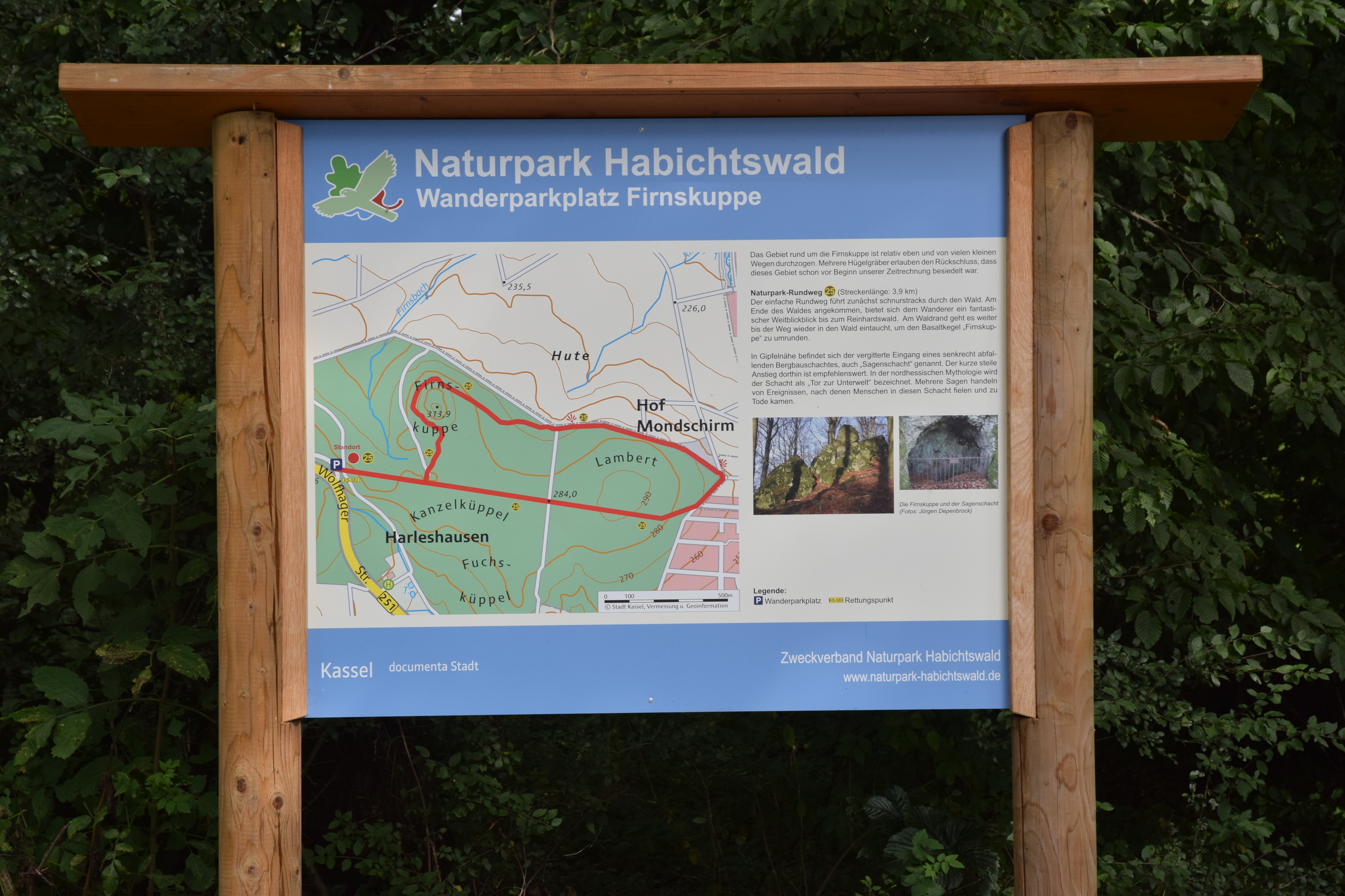
Deutsch: Wandertafel Parkplatz Firnskuppe |
||
| Date | |||
| Source | Own work | ||
| Author | User:max60watt | ||
| Permission (Reusing this file) |
|
Licensing edit
| I, the copyright holder of this work, release this work into the public domain. This applies worldwide. In some countries this may not be legally possible; if so: I grant anyone the right to use this work for any purpose, without any conditions, unless such conditions are required by law. |
| Object location | | View this and other nearby images on: OpenStreetMap |
|---|
File history
Click on a date/time to view the file as it appeared at that time.
| Date/Time | Thumbnail | Dimensions | User | Comment | |
|---|---|---|---|---|---|
| current | 19:42, 21 September 2020 | | 6,000 × 4,000 (9.1 MB) | Max60watt (talk | contribs) | == {{int:filedesc}} == {{Information |description={{de|1=Wandertafel Parkplatz Firnskuppe}} |date=2020-10-20 |source={{own}} |author=User:max60watt |permission={{FoP-Germany}} }} == {{int:license-header}} == {{PD-self}} {{Object location dec|51.3493416|9.4186158}} Category:Wandertafeln_Habichtswald_(Gebirge) Category:Wandertafeln_Region_Kassel Category:Wandergebiet_Nordhessen |
You cannot overwrite this file.
File usage on Commons
The following page uses this file: