File:Warfield-railroad-bridge-ky.jpg
Size of this preview: 800 × 533 pixels. Other resolutions: 320 × 213 pixels | 640 × 427 pixels | 1,024 × 683 pixels | 1,280 × 853 pixels | 2,560 × 1,707 pixels | 6,000 × 4,000 pixels.
Original file (6,000 × 4,000 pixels, file size: 8 MB, MIME type: image/jpeg)
Captions
Captions
Add a one-line explanation of what this file represents
Summary
edit
| Description |
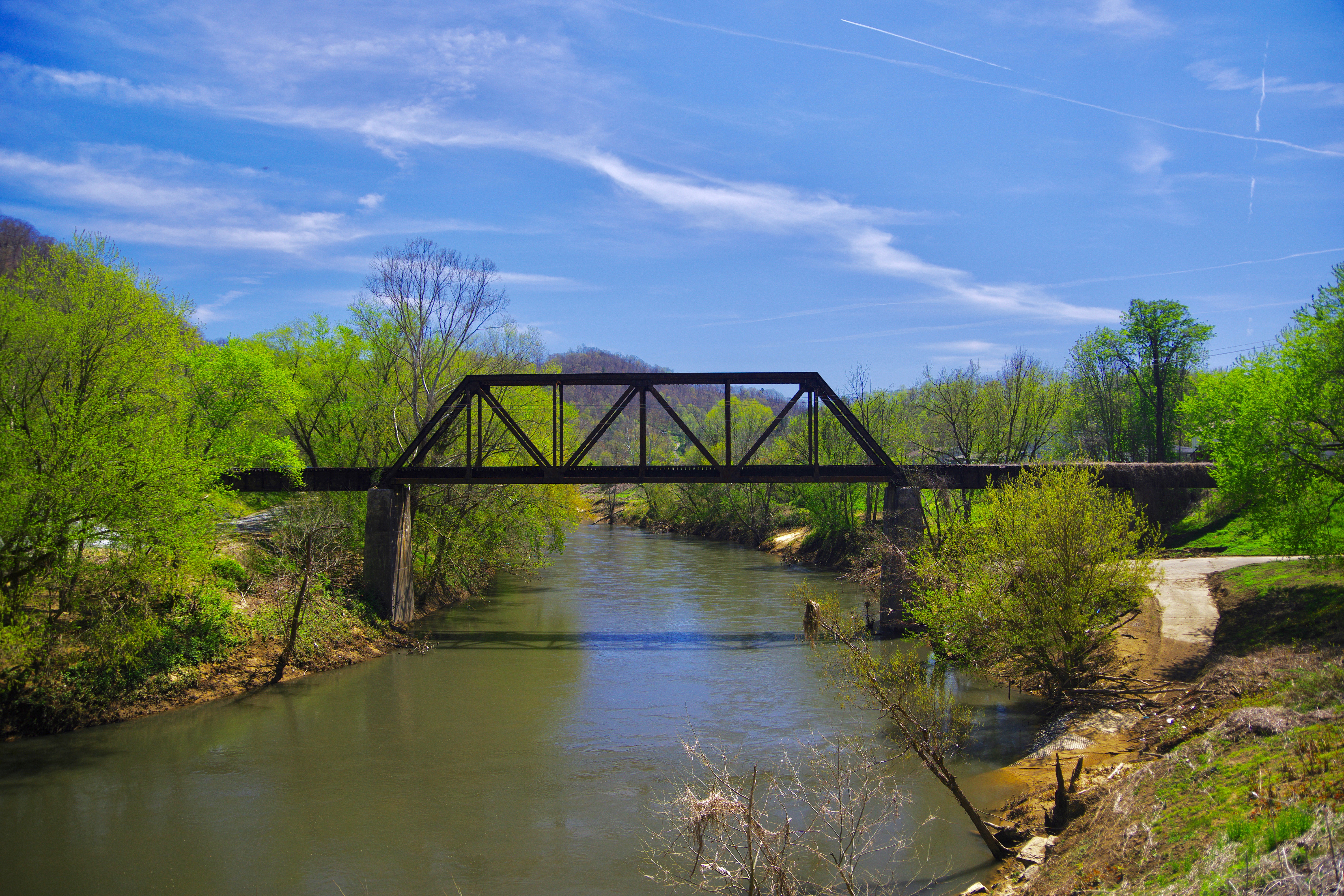
English: Abandoned railroad bridge over the Tug Fork in Warfield, Kentucky, United States. The river marks the boundary between the states of Kentucky and West Virginia, with West Virginia being on the left in the photo. |
| Date | |
| Source | Own work |
| Author | Brian Stansberry (photographer) |
Licensing
edit
I, the copyright holder of this work, hereby publish it under the following license:
This file is licensed under the Creative Commons Attribution 4.0 International license.
- You are free:
- to share – to copy, distribute and transmit the work
- to remix – to adapt the work
- Under the following conditions:
- attribution – You must give appropriate credit, provide a link to the license, and indicate if changes were made. You may do so in any reasonable manner, but not in any way that suggests the licensor endorses you or your use.
File history
Click on a date/time to view the file as it appeared at that time.
| Date/Time | Thumbnail | Dimensions | User | Comment | |
|---|---|---|---|---|---|
| current | 23:52, 1 May 2018 | | 6,000 × 4,000 (8 MB) | BrineStans (talk | contribs) | {{Information |description ={{en|1=Abandoned railroad bridge over the Tug Fork in Warfield, Kentucky, United States. The river marks the boundary between the states of Kentucky and West Virginia, with West Virginia being on the left in the photo. }} |source ={{own}} |author =Brian Stansberry (photographer) |date =2018-04-21 }} Category:Tug Fork Category:Warfield, Kentucky Category:Kermit, West Virginia [[Category:Railway bridges in K... |
You cannot overwrite this file.
File usage on Commons
There are no pages that use this file.