File:Water reflection of a dirt road in green paddy fields, karst mountains and clouds at sunset in Vang Vieng Laos.jpg

Size of this preview: 800 × 533 pixels. Other resolutions: 320 × 213 pixels | 640 × 427 pixels | 1,024 × 683 pixels | 1,280 × 853 pixels | 2,560 × 1,707 pixels | 6,572 × 4,382 pixels.
Original file (6,572 × 4,382 pixels, file size: 14.96 MB, MIME type: image/jpeg)
Captions
Captions
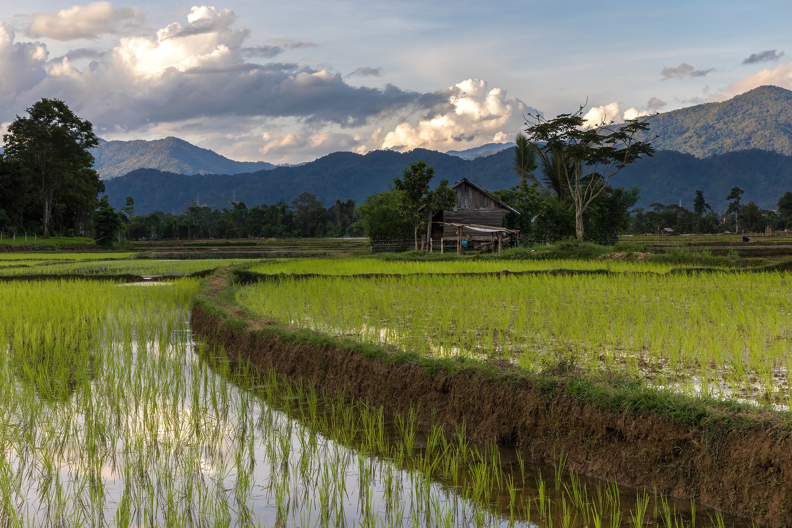
Water reflection of a dirt road in green paddy fields, karst mountains and clouds at sunset in Vang Vieng Laos
Summary edit
| Description |
English: Water reflection of a dirt road in green paddy fields, wooden house, karst mountains and colorful clouds at sunset, during the monsoon, in Vang Vieng, Vientiane Province, Laos.
Français : Reflet dans l'eau d'un chemin de terre dans les rizières vertes, maison en bois, montagnes karstiques et nuages colorés, pendant la mousson, à Vang Vieng, Province de Vientiane, Laos. |
| Date | |
| Source | Own work |
| Author | Basile Morin |
| Camera location | | View this and other nearby images on: OpenStreetMap |
|---|
|
Licensing edit
I, the copyright holder of this work, hereby publish it under the following license:
This file is licensed under the Creative Commons Attribution-Share Alike 4.0 International license.
- You are free:
- to share – to copy, distribute and transmit the work
- to remix – to adapt the work
- Under the following conditions:
- attribution – You must give appropriate credit, provide a link to the license, and indicate if changes were made. You may do so in any reasonable manner, but not in any way that suggests the licensor endorses you or your use.
- share alike – If you remix, transform, or build upon the material, you must distribute your contributions under the same or compatible license as the original.
File history
Click on a date/time to view the file as it appeared at that time.
| Date/Time | Thumbnail | Dimensions | User | Comment | |
|---|---|---|---|---|---|
| current | 07:26, 14 August 2020 | | 6,572 × 4,382 (14.96 MB) | Basile Morin (talk | contribs) | Uploaded own work with UploadWizard |
You cannot overwrite this file.
File usage on Commons
The following 17 pages use this file:
- User:Basile Morin
- User:Meiræ/20
- User talk:Basile Morin/Archive 7 (2020)
- User talk:Basile Morin/Archive 8 (2021)
- Commons:Featured picture candidates/File:Water reflection of a dirt road in green paddy fields, karst mountains and clouds at sunset in Vang Vieng Laos.jpg
- Commons:Featured picture candidates/Log/January 2021
- Commons:Featured pictures/Places/Agriculture
- Commons:Featured pictures/chronological/2021-A
- Commons:Featured pictures/chronological/January 2021
- Commons:Picture of the Year/2021/Candidates
- Commons:Picture of the Year/2021/R1/Gallery/2021-A
- Commons:Picture of the Year/2021/R1/Gallery/ALL
- Commons:Picture of the Year/2021/R1/Gallery/M01
- Commons:Picture of the Year/2021/R1/Gallery/Nature views
- Commons:Picture of the Year/2021/R1/v/Water reflection of a dirt road in green paddy fields, karst mountains and clouds at sunset in Vang Vieng Laos.jpg
- Commons:Quality images/Subject/Places/Mixed/Archive4
- Commons:Quality images candidates/Archives August 17 2020
File usage on other wikis
The following other wikis use this file:
- Usage on fr.wikipedia.org
- Usage on incubator.wikimedia.org
- Usage on lb.wikipedia.org
- Usage on pl.wiktionary.org