File:Wathlingen, Kali-Abraumhalde.jpg
Size of this preview: 800 × 452 pixels. Other resolutions: 320 × 181 pixels | 640 × 361 pixels | 1,024 × 578 pixels | 1,280 × 722 pixels | 2,661 × 1,502 pixels.
Original file (2,661 × 1,502 pixels, file size: 2.48 MB, MIME type: image/jpeg)
Captions
Captions
Add a one-line explanation of what this file represents
| Description |
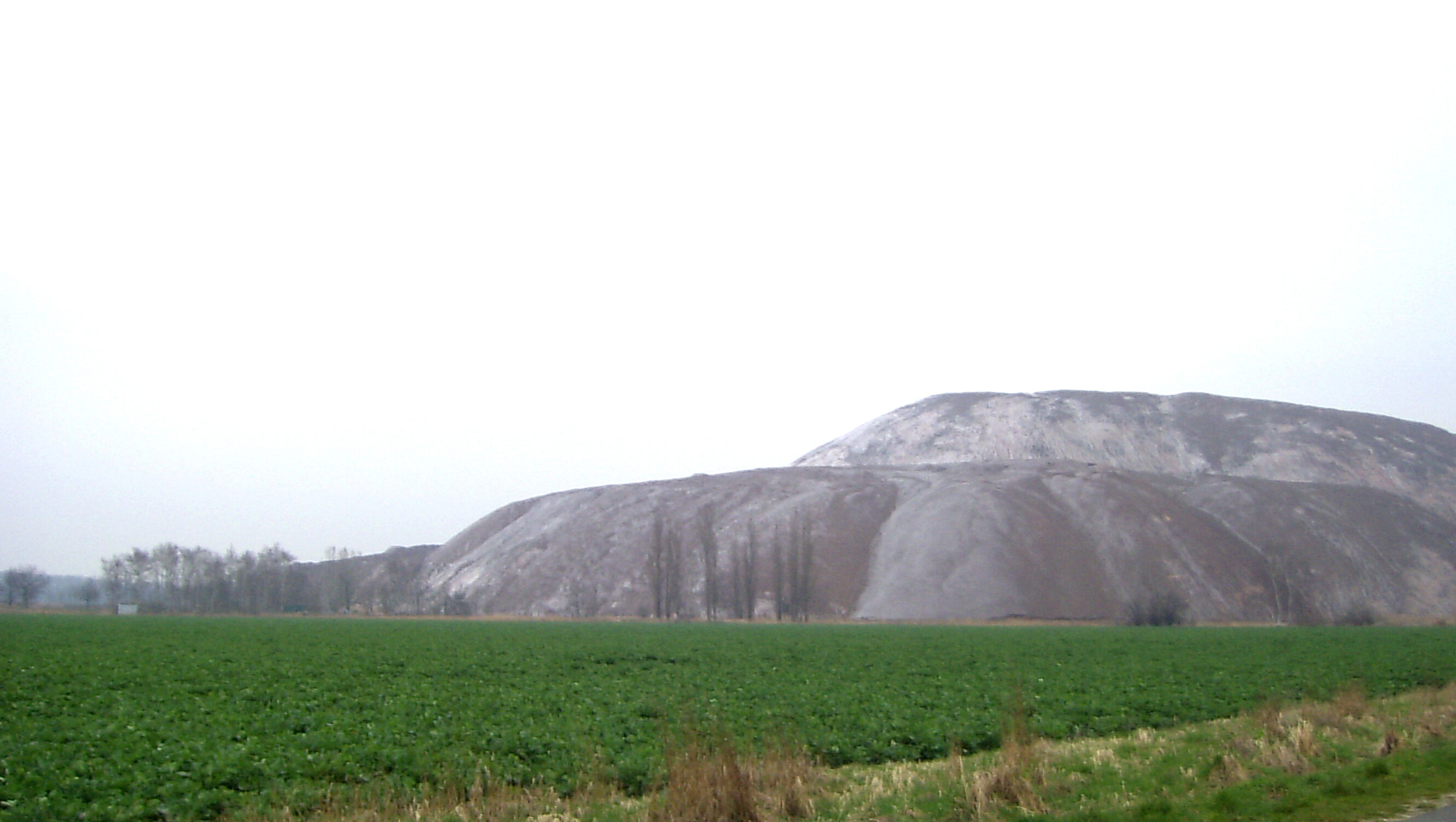
Deutsch: Kaliabraumhalde bei Wathlingen English: rock-salt debris mountain near Wathlingen |
||
| Date | |||
| Source | Self-photographed | ||
| Author | Rauenstein | ||
| Permission (Reusing this file) |
|
| Camera location | | View this and other nearby images on: OpenStreetMap |
|---|
File history
Click on a date/time to view the file as it appeared at that time.
| Date/Time | Thumbnail | Dimensions | User | Comment | |
|---|---|---|---|---|---|
| current | 23:29, 22 September 2011 | | 2,661 × 1,502 (2.48 MB) | Rauenstein (talk | contribs) | |
| 17:38, 29 December 2007 |  | 2,661 × 1,617 (902 KB) | Rauenstein (talk | contribs) | {{Information |Description={{de|Kaliabraumhalde bei Wathlingen}} {{en|rock-salt debris mountain near Wathlingen}} |Source=Own work |Date=2007-04-15 |Author=Rauenstein |Permission=see below |oth |
You cannot overwrite this file.
File usage on Commons
There are no pages that use this file.
File usage on other wikis
The following other wikis use this file:
- Usage on de.wikipedia.org
- Usage on fr.wikipedia.org
- Usage on zh-min-nan.wikipedia.org