File:Watkins Mill, County Highway MM, Lawson vicinity (Clay County, Missouri) crop1.jpg
Size of this preview: 800 × 600 pixels. Other resolutions: 320 × 240 pixels | 640 × 480 pixels | 1,024 × 768 pixels | 1,280 × 960 pixels | 2,560 × 1,920 pixels | 2,784 × 2,088 pixels.
Original file (2,784 × 2,088 pixels, file size: 1.42 MB, MIME type: image/jpeg)
Captions
Captions
Add a one-line explanation of what this file represents
Summary edit
_crop1.jpg&action=edit§ion=1)
| Description |
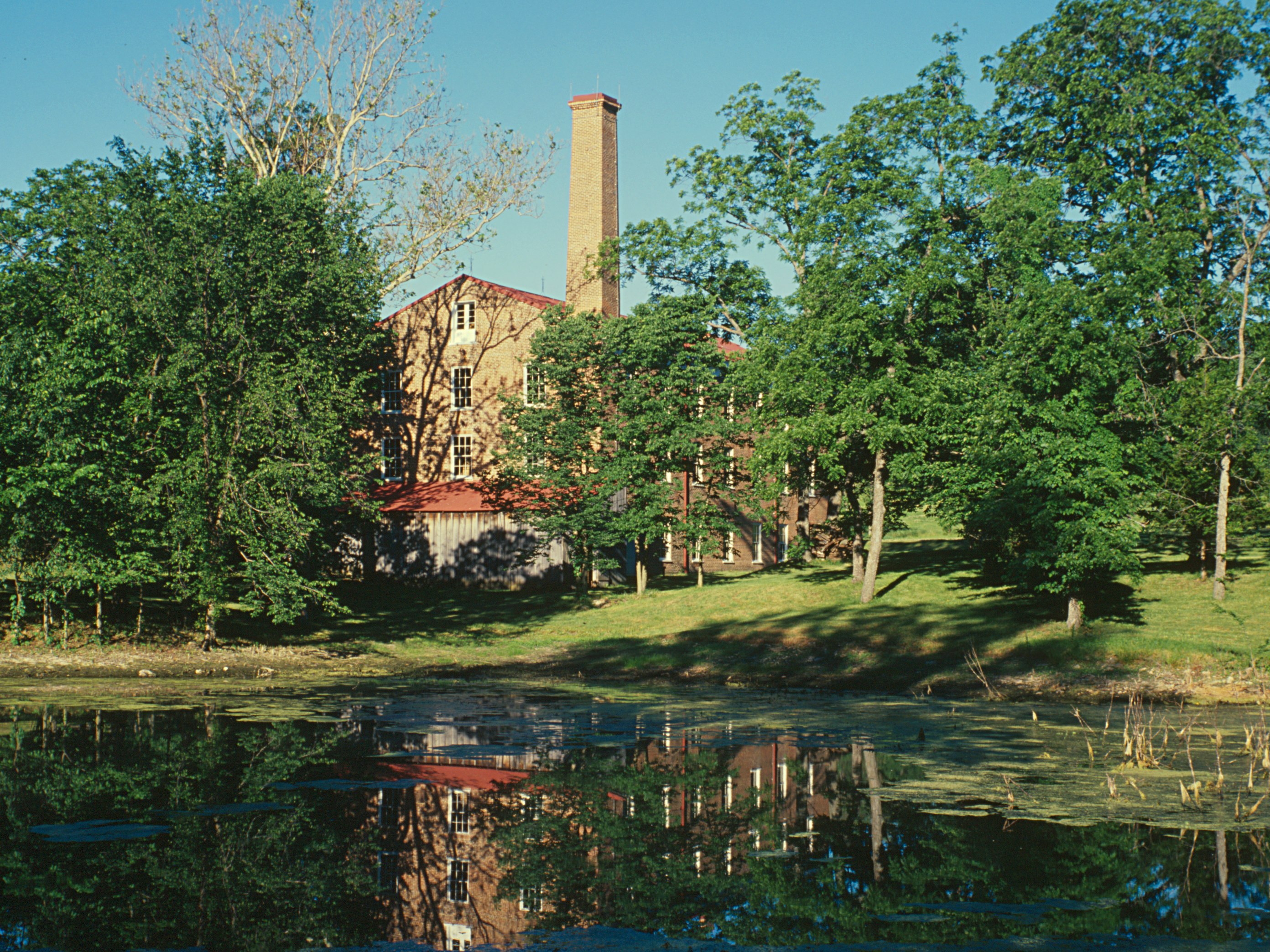
English: Watkins Mill, County Highway MM, Lawson vicinity (Clay County, Missouri)
|
|||||
| Date | (UTC) | |||||
| Source | ||||||
| Author |
|
|||||
| Other versions |
.jpg) _crop2.jpg) |
| This is a retouched picture, which means that it has been digitally altered from its original version. Modifications: Cropped; sharpened; saturation boosted. The original can be viewed here: Watkins Mill, County Highway MM, Lawson vicinity (Clay County, Missouri).jpg:
|
This work is in the public domain in the United States because it is a work prepared by an officer or employee of the United States Government as part of that person’s official duties under the terms of Title 17, Chapter 1, Section 105 of the US Code.
Note: This only applies to original works of the Federal Government and not to the work of any individual U.S. state, territory, commonwealth, county, municipality, or any other subdivision. This template also does not apply to postage stamp designs published by the United States Postal Service since 1978. (See § 313.6(C)(1) of Compendium of U.S. Copyright Office Practices). It also does not apply to certain US coins; see The US Mint Terms of Use.
|
 | |
| This file has been identified as being free of known restrictions under copyright law, including all related and neighboring rights. | ||

|
This file comes from the Historic American Buildings Survey (HABS), Historic American Engineering Record (HAER) or Historic American Landscapes Survey (HALS). These are programs of the National Park Service established for the purpose of documenting historic places. Records consist of measured drawings, archival photographs, and written reports.
This tag does not indicate the copyright status of the attached work. A normal copyright tag is still required. See Commons:Licensing. |
| This image or media file contains material based on a work of a National Park Service employee, created as part of that person's official duties. As a work of the U.S. federal government, such work is in the public domain in the United States. See the NPS website and NPS copyright policy for more information. |
Original upload log edit
_crop1.jpg&action=edit§ion=2)
This image is a derivative work of the following images:
- File:Watkins_Mill,_County_Highway_MM,_Lawson_vicinity_(Clay_County,_Missouri).jpg licensed with PD-USGov, PD-USGov-Interior-HABS
- 2010-11-17T16:25:36Z Kbh3rd 4362x3367 (2494513 Bytes) Full resolution version from the same source; converted from TIFF file.
- 2008-12-06T22:53:28Z KudzuVine 548x418 (93390 Bytes) {{Information |Description={{en|1=Watkins Mill, County Highway MM, Lawson vicinity (Clay County, Missouri) {{PD-USGov-Interior-HABS}} }} |Source=http://memory.loc.gov/cgi-bin/displayPhoto.pl?path=/pnp/habshaer/mo/mo0300/mo039
Uploaded with derivativeFX
File history
Click on a date/time to view the file as it appeared at that time.
| Date/Time | Thumbnail | Dimensions | User | Comment | |
|---|---|---|---|---|---|
| current | 16:41, 17 November 2010 | | 2,784 × 2,088 (1.42 MB) | Kbh3rd (talk | contribs) | {{Information |Description={{en|1=Watkins Mill, County Highway MM, Lawson vicinity (Clay County, Missouri) {{PD-USGov-Interior-HABS}} }} |Source=*File:Watkins_Mill,_County_Highway_MM,_Lawson_vicinity_(Clay_County,_Missouri).jpg |Date=2010-11-17 16:3 |
You cannot overwrite this file.
File usage on Commons
The following 3 pages use this file:
File usage on other wikis
The following other wikis use this file:
- Usage on en.wikipedia.org
- Usage on fr.wikipedia.org
- Usage on www.wikidata.org
_crop1.jpg&oldid=870603474)