File:West Freedom UMC from southwest.jpg
Size of this preview: 800 × 532 pixels. Other resolutions: 320 × 213 pixels | 640 × 426 pixels | 1,024 × 681 pixels | 1,280 × 851 pixels | 2,560 × 1,702 pixels | 6,016 × 4,000 pixels.
Original file (6,016 × 4,000 pixels, file size: 7.2 MB, MIME type: image/jpeg)
Captions
Captions
Add a one-line explanation of what this file represents
| Camera location | | View this and other nearby images on: OpenStreetMap |
|---|
| Description |
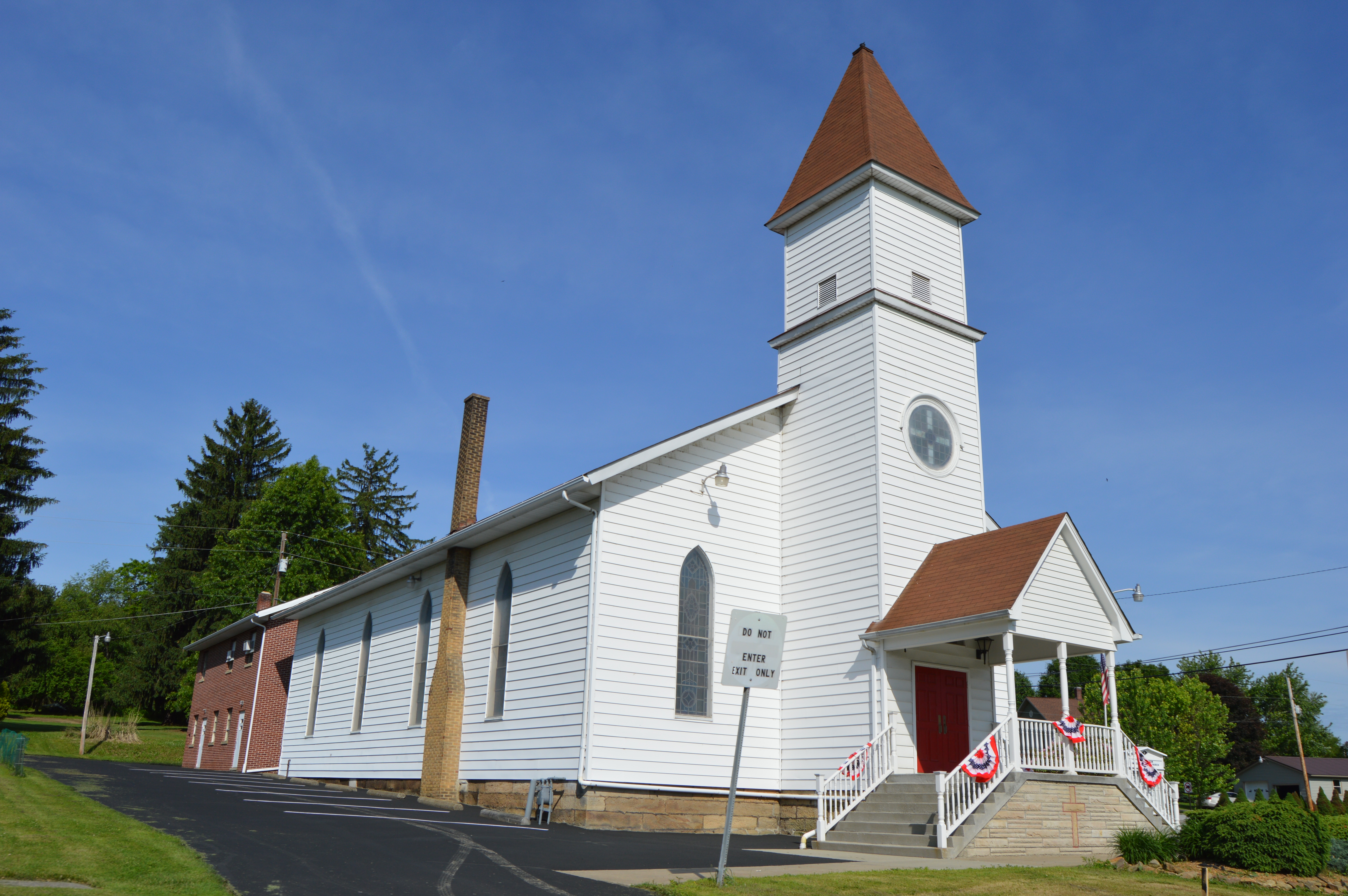
English: Southern side and front of the West Freedom United Methodist Church, located at the junction of Pennsylvania Route 368 and Doc Walker Road in West Freedom, Pennsylvania, United States. Photo looks west-southwest from the junction of Doc Walker and Concord Church Roads. It was built in 1876. |
||
| Date | Taken on 5 June 2015 | ||
| Source | Own work | ||
| Author | Nyttend | ||
| Permission (Reusing this file) |
|
File history
Click on a date/time to view the file as it appeared at that time.
| Date/Time | Thumbnail | Dimensions | User | Comment | |
|---|---|---|---|---|---|
| current | 20:36, 14 June 2015 | | 6,016 × 4,000 (7.2 MB) | Nyttend (talk | contribs) | {{Location|41|6|25|N|79|37|29|W}} {{Information |Description={{en|Southern side and front of the West Freedom United Methodist Church, located at the junction of {{w|Pennsylvania Route 368}} and Doc Walker Road in {{w|West Freedom, Pennsylvania|West Fr... |
You cannot overwrite this file.
File usage on Commons
There are no pages that use this file.