File:Western Waterfront Wynyard Crossing.jpg
Size of this preview: 800 × 533 pixels. Other resolutions: 320 × 213 pixels | 640 × 427 pixels | 1,024 × 683 pixels | 1,200 × 800 pixels.
Original file (1,200 × 800 pixels, file size: 142 KB, MIME type: image/jpeg)
Captions
Captions
Add a one-line explanation of what this file represents
Summary edit
| Description |
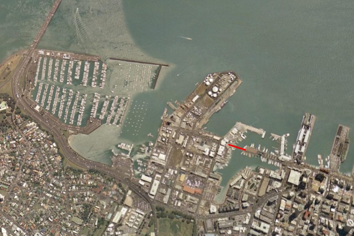
English: The location of the Wynyard Crossing bridge in the western Auckland waterfront, being constructed in 2011. |
| Date | Unknown date. Based on visible landscape / infrastructure features: 2000s |
| Source | World-wind program screenshot. |
| Author | Not applicable. |
| Other versions | Based on File:Western Waterfront Auckland.jpg. |
Licensing edit
| This image is in the public domain because it is a screenshot from NASA’s globe software World Wind using a public domain layer, such as Blue Marble, MODIS, Landsat, SRTM, USGS or GLOBE.
|
 |
File history
Click on a date/time to view the file as it appeared at that time.
| Date/Time | Thumbnail | Dimensions | User | Comment | |
|---|---|---|---|---|---|
| current | 06:01, 11 January 2011 | | 1,200 × 800 (142 KB) | Ingolfson (talk | contribs) | == {{int:filedesc}} == {{Information |Description = The location of the '''Wynyard Crossing''' bridge in the western Auckland waterfront, being constructed in 2011. |Source = World-wind program screenshot. |Date = Unknown. Base |
You cannot overwrite this file.
File usage on Commons
There are no pages that use this file.
File usage on other wikis
The following other wikis use this file:
- Usage on en.wikipedia.org