File:Wheat field in Pardes Hanna-Karkur.jpg
Size of this preview: 800 × 360 pixels. Other resolutions: 320 × 144 pixels | 640 × 288 pixels | 1,024 × 461 pixels | 1,280 × 576 pixels | 4,000 × 1,800 pixels.
Original file (4,000 × 1,800 pixels, file size: 2.65 MB, MIME type: image/jpeg)
Captions
Captions
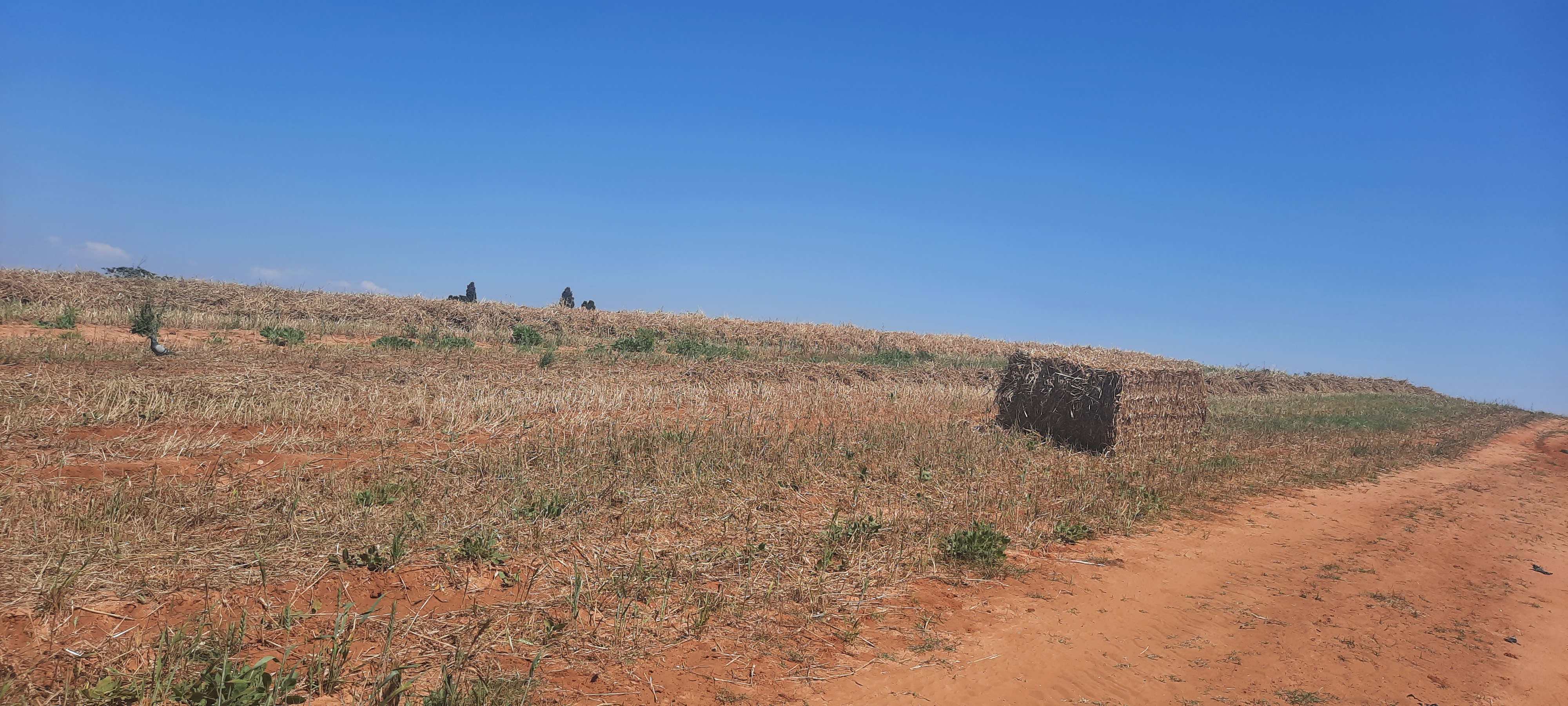
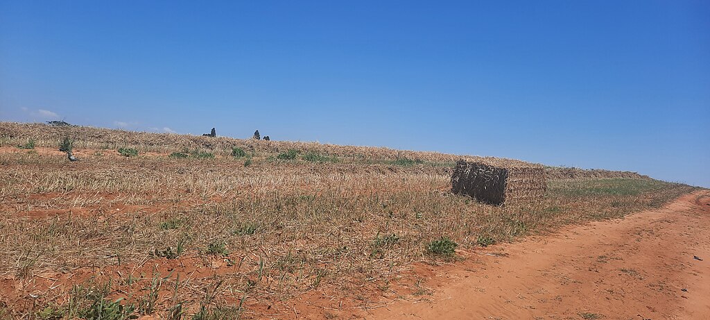
Wheat field in Pardes Hanna-karkur
Summary edit
| Description |
English: Wheat field in Pardes Hanna-Karkur |
| Date | 25 April 2023 (according to Exif data) |
| Source | Own work |
| Author | Teneab |
| Camera location | | View this and other nearby images on: OpenStreetMap |
|---|
Licensing edit
I, the copyright holder of this work, hereby publish it under the following license:
This file is licensed under the Creative Commons Attribution license, versions 1.0, 2.0, 2.5, 3.0, 4.0 and any later version released by Creative Commons. You may select the version of your choice. In short: you are free to share and make derivative works of the file under the conditions that you appropriately attribute it. Official license: 1.0, 2.0, 2.5, 3.0, 4.0
|
If this file was uploaded before Jan. 10th, 2013 it is licensed under:
This file is licensed under the Creative Commons Attribution 3.0 Unported, 2.5 Generic, 2.0 Generic and 1.0 Generic license.
- You are free:
- to share – to copy, distribute and transmit the work
- to remix – to adapt the work
- Under the following conditions:
- attribution – You must give appropriate credit, provide a link to the license, and indicate if changes were made. You may do so in any reasonable manner, but not in any way that suggests the licensor endorses you or your use.
| This file was uploaded via Mobile Android App (Commons mobile app) 4.0.5~f03b7dd8d. |
File history
Click on a date/time to view the file as it appeared at that time.
| Date/Time | Thumbnail | Dimensions | User | Comment | |
|---|---|---|---|---|---|
| current | 12:22, 25 April 2023 | | 4,000 × 1,800 (2.65 MB) | Teneab (talk | contribs) | Uploaded using Commons Mobile App |
You cannot overwrite this file.
File usage on Commons
The following 2 pages use this file: