File:Wikieup Banner.jpg
Size of this preview: 798 × 114 pixels. Other resolutions: 320 × 46 pixels | 2,560 × 366 pixels.
Original file (2,560 × 366 pixels, file size: 506 KB, MIME type: image/jpeg)
Captions
Captions
Add a one-line explanation of what this file represents
Summary
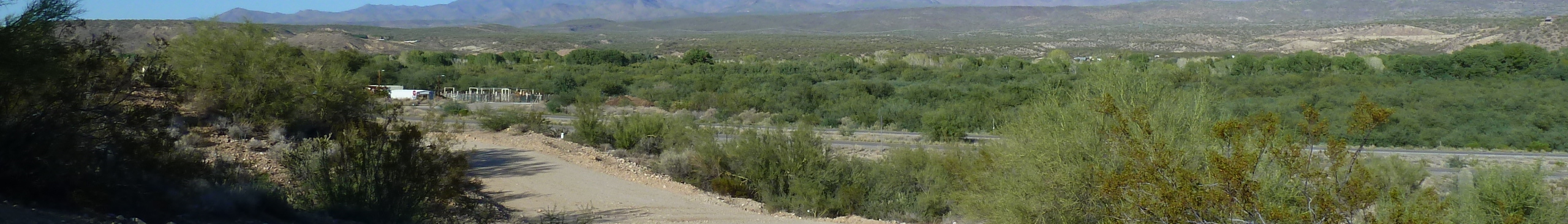
edit| Description | Wikieup, AZ: View N, Big Sandy Wash and Big Sandy River |
| Date | Taken on 26 September 2011 |
| Source | https://web.archive.org/web/20161019205332/http://www.panoramio.com/photo/59641744 |
| Author | Chris English |
| Permission (Reusing this file) |
This file is licensed under the Creative Commons Attribution-Share Alike 3.0 Unported license. Attribution: Chris English
|
| Other versions | |
| Tags (from Panoramio photo page) | Mohave County, 2011, AZ, USA, Wikieup |

| Camera location | | View this and other nearby images on: OpenStreetMap |
|---|
File history
Click on a date/time to view the file as it appeared at that time.
| Date/Time | Thumbnail | Dimensions | User | Comment | |
|---|---|---|---|---|---|
| current | 21:58, 23 December 2019 | 2,560 × 366 (506 KB) | SelfieCity (talk | contribs) | File:Wikieup, AZ, View N, Big Sandy Wash and Big Sandy River - panoramio.jpg cropped 81 % vertically using CropTool with precise mode. |
You cannot overwrite this file.
File usage on Commons
The following page uses this file:
File usage on other wikis
The following other wikis use this file: