File:Wimereux, the Digue Promenade Michel Hamiot.jpg

Size of this preview: 800 × 543 pixels. Other resolutions: 320 × 217 pixels | 640 × 434 pixels | 1,024 × 695 pixels | 1,280 × 868 pixels | 2,560 × 1,737 pixels | 5,074 × 3,442 pixels.
Original file (5,074 × 3,442 pixels, file size: 3.78 MB, MIME type: image/jpeg)
Captions
Captions
Add a one-line explanation of what this file represents
Summary edit
| Description |
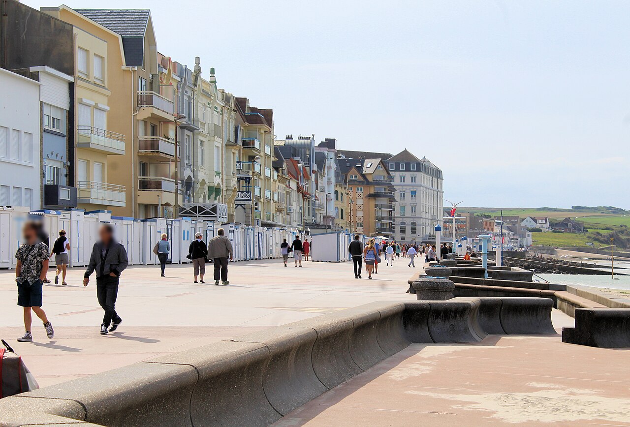
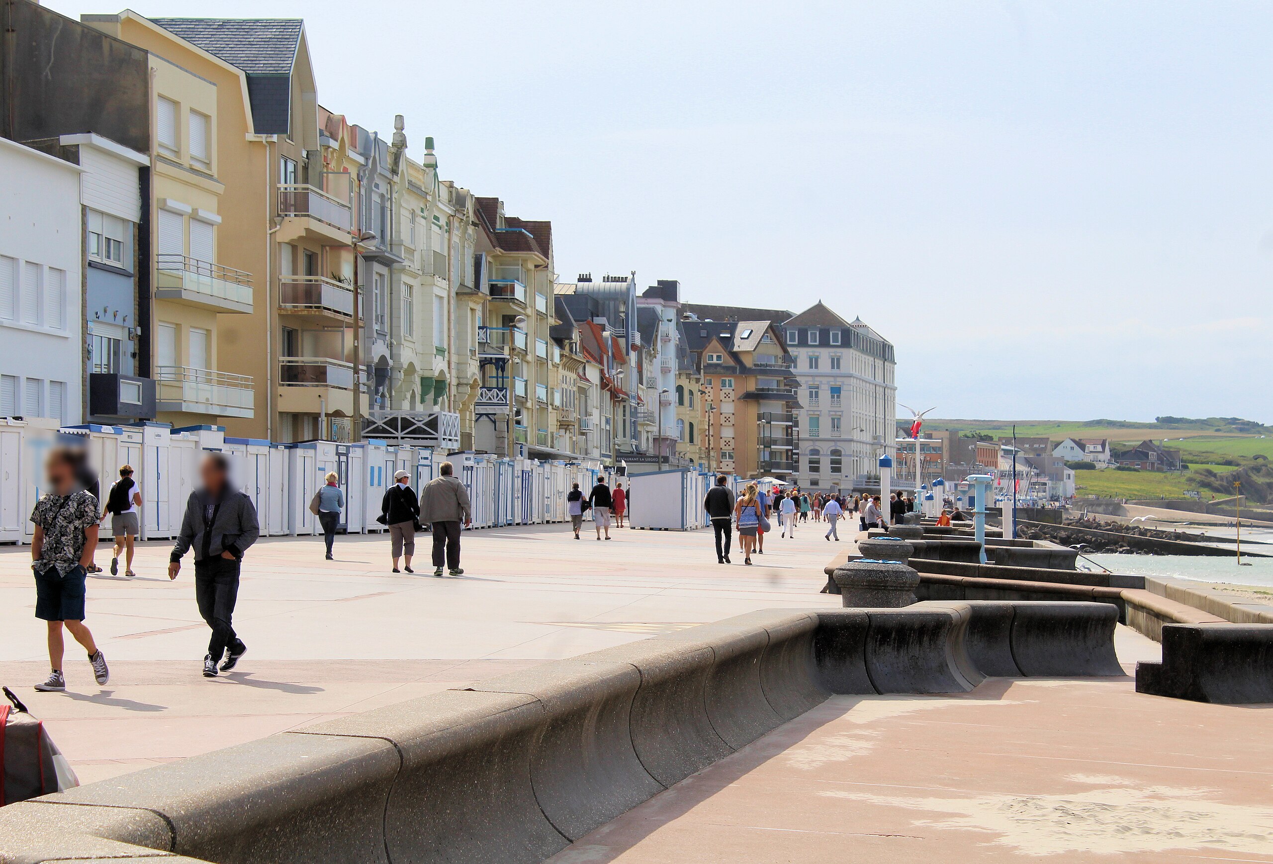
English: Wimereux, the Digue Promenade Michel Hamiot
Deutsch: Wimereux, die Digue Promenade Michel Hamiot |
| Date | |
| Source | Own work |
| Author | Dguendel |
| Camera location | | View this and other nearby images on: OpenStreetMap |
|---|
Licensing edit
I, the copyright holder of this work, hereby publish it under the following license:
This file is licensed under the Creative Commons Attribution 4.0 International license.
- You are free:
- to share – to copy, distribute and transmit the work
- to remix – to adapt the work
- Under the following conditions:
- attribution – You must give appropriate credit, provide a link to the license, and indicate if changes were made. You may do so in any reasonable manner, but not in any way that suggests the licensor endorses you or your use.
File history
Click on a date/time to view the file as it appeared at that time.
| Date/Time | Thumbnail | Dimensions | User | Comment | |
|---|---|---|---|---|---|
| current | 06:52, 7 May 2019 | | 5,074 × 3,442 (3.78 MB) | Dguendel (talk | contribs) | {{Information |description ={{en|1=Wimereux, the Digue Promenade Michel Hamiot}} {{de|1=Wimereux, die Digue Promenade Michel Hamiot}} |date =2017-09-03 |source ={{own}} |author =User:Dguendel }} {{location|50|46|11.29|N|1|36|23.56|E}} Category:Buildings in Wimereux |
You cannot overwrite this file.
File usage on Commons
There are no pages that use this file.