File:Wolf Park Band Shell Barton Co KS west elevation.jpg

Size of this preview: 800 × 533 pixels. Other resolutions: 320 × 213 pixels | 640 × 427 pixels | 1,024 × 683 pixels | 1,280 × 853 pixels | 2,560 × 1,707 pixels | 3,603 × 2,402 pixels.
Original file (3,603 × 2,402 pixels, file size: 1.58 MB, MIME type: image/jpeg)
Captions
Captions
Add a one-line explanation of what this file represents
Summary edit
| Description |
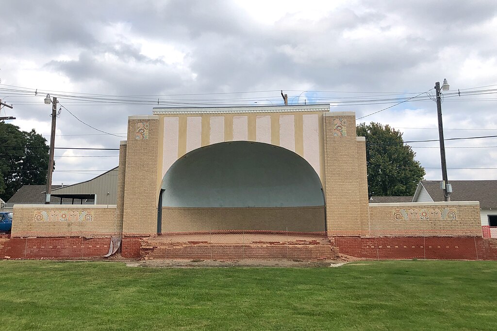
English: Wolf Park Band Shell
|
||
| Date | |||
| Source | Own work | ||
| Author | SharonPapierdreams |
| Camera location | | View this and other nearby images on: OpenStreetMap |
|---|
In August of 1930, Ellinwood businessman Fred Wolf deeded land to the City of Ellinwood with the provision that it be used and maintained as a public park. Mann and Company Architects of Hutchinson designed the band shell with construction beginning in January 1931 by Young Construction, also of Hutchinson.
Licensing edit
I, the copyright holder of this work, hereby publish it under the following license:
This file is licensed under the Creative Commons Attribution-Share Alike 4.0 International license.
- You are free:
- to share – to copy, distribute and transmit the work
- to remix – to adapt the work
- Under the following conditions:
- attribution – You must give appropriate credit, provide a link to the license, and indicate if changes were made. You may do so in any reasonable manner, but not in any way that suggests the licensor endorses you or your use.
- share alike – If you remix, transform, or build upon the material, you must distribute your contributions under the same or compatible license as the original.
File history
Click on a date/time to view the file as it appeared at that time.
| Date/Time | Thumbnail | Dimensions | User | Comment | |
|---|---|---|---|---|---|
| current | 00:46, 1 October 2023 | | 3,603 × 2,402 (1.58 MB) | SharonPapierdreams (talk | contribs) | Uploaded own work with UploadWizard |
You cannot overwrite this file.
File usage on Commons
There are no pages that use this file.
File usage on other wikis
The following other wikis use this file:
- Usage on en.wikipedia.org