File:Wschowa (gmina) location map.png
Original file (1,254 × 1,303 pixels, file size: 278 KB, MIME type: image/png)
Captions
Captions
Summary edit
_location_map.png&action=edit§ion=1)
| Description |
English: Location map |
| Date | |
| Source | Own work |
| Author | Smat |
| Description |
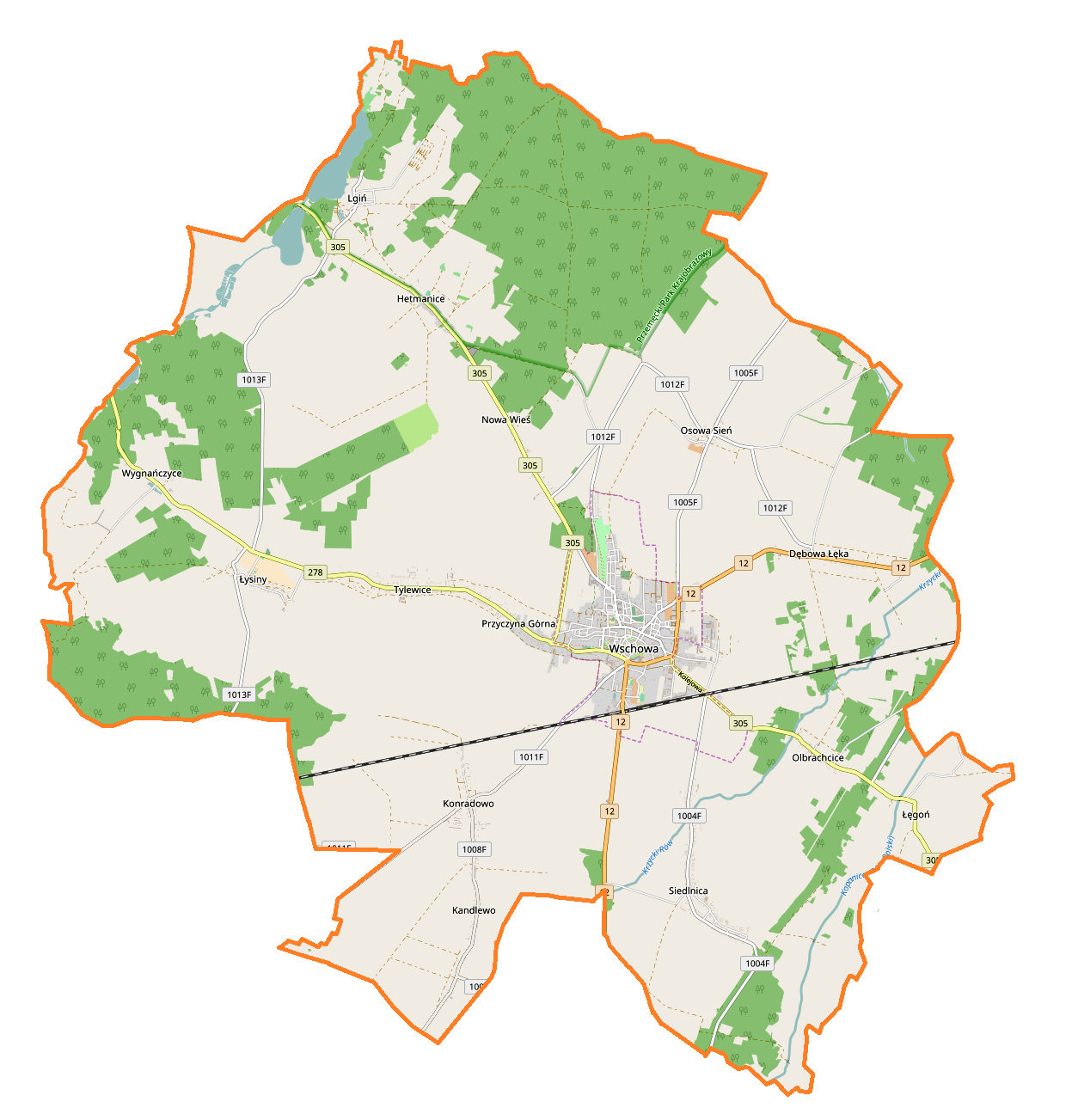
Polski: Mapa gminy Wschowa, Polska
English: Map of Wschowa (gmina), Poland |
|||||||||
| Date | ||||||||||
| Source | You may find a page on the OpenStreetMap wiki page for Wschowa (gmina) | |||||||||
| Creator |
OpenStreetMap contributors OpenStreetMap contributors |
|||||||||
| Permission (Reusing this file) |
OpenStreetMap data is available under the Open Database License (details). Map tiles are licensed under the Creative Commons Attribution-ShareAlike 2.0 license (CC-BY-SA 2.0).
This file is licensed under the Creative Commons Attribution-Share Alike 2.0 Generic license.
|
|||||||||
| Geotemporal data | ||||||||||
| Bounding box |
|
|||||||||
| Georeferencing | If inappropriate please set warp_status = skip to hide. | |||||||||
Licensing edit
_location_map.png&action=edit§ion=2)
| This work contains information from OpenStreetMap, which is made available under the Open Database License (ODbL).
The ODbL does not require any particular license for maps produced from ODbL data. Prior to 1 August 2020, map tiles produced by the OpenStreetMap Foundation were licensed under the CC-BY-SA-2.0 license. Maps produced by other people may be subject to other licences. |
File history
Click on a date/time to view the file as it appeared at that time.
| Date/Time | Thumbnail | Dimensions | User | Comment | |
|---|---|---|---|---|---|
| current | 15:11, 15 August 2017 | | 1,254 × 1,303 (278 KB) | Smat (talk | contribs) | User created page with UploadWizard |
You cannot overwrite this file.
File usage on Commons
There are no pages that use this file.
File usage on other wikis
The following other wikis use this file:
- Usage on pl.wikipedia.org
- Wschowa
- Dębowa Łęka
- Hetmanice
- Kandlewo
- Lgiń
- Łęgoń
- Osowa Sień
- Przyczyna Dolna
- Przyczyna Górna
- Siedlnica
- Tylewice
- Wygnańczyce
- Łysiny (województwo lubuskie)
- Olbrachcice (województwo lubuskie)
- Konradowo (powiat wschowski)
- Nowa Wieś (powiat wschowski)
- Buczyna (Nowa Wieś)
- Bitwa pod Wschową
- Kościół św. Jadwigi w Dębowej Łęce
- Klasztor Franciszkanów we Wschowie
- Czerlejewo
- Pszczółkowo
- Mały Bór (województwo lubuskie)
- Klucz (Lgiń)
- Wincentowo (Osowa Sień)
- Nowe Ogrody (Wschowa)
- Browar Edi
- Ratusz we Wschowie
- Cmentarz żydowski we Wschowie
- Wschowa (stacja kolejowa)
- Muzeum Ziemi Wschowskiej
- Parafia św. Fabiana i św. Sebastiana w Osowej Sieni
- Parafia św. Jadwigi Królowej we Wschowie
- Parafia św. Stanisława we Wschowie
- Zamek we Wschowie
- Wygnańczyce (przystanek kolejowy)
- Łysiny (przystanek kolejowy)
- Kościół św. Stanisława we Wschowie
- Sieplnica
- Kościół Trójcy Świętej we Wschowie
- Kościół Żłóbka Chrystusowego we Wschowie
- Moduł:Mapa/dane/Wschowa (gmina)
- Moduł:Mapa/dane/Wschowa
- Parafia św. Józefa Oblubieńca NMP we Wschowie
- Pomnik buhaja Ilona w Osowej Sieni
- Kościół bł. Władysława z Gielniowa w Olbrachcicach
- Parafia św. Jakuba Apostoła w Konradowie
- Parafia św. Bartłomieja Apostoła w Lginiu
- Parafia Matki Bożej Bolesnej w Łysinach
- Parafia Narodzenia Najświętszej Maryi Panny i św. Jana Apostoła w Siedlnicy
View more global usage of this file.
_location_map.png)
_location_map.png&oldid=607601227)