File:Yala 101.29726E 6.53979N.jpg
Size of this preview: 657 × 600 pixels. Other resolutions: 263 × 240 pixels | 526 × 480 pixels | 841 × 768 pixels | 1,036 × 946 pixels.
Original file (1,036 × 946 pixels, file size: 191 KB, MIME type: image/jpeg)
Captions
Captions
Add a one-line explanation of what this file represents
Summary edit
| Description |
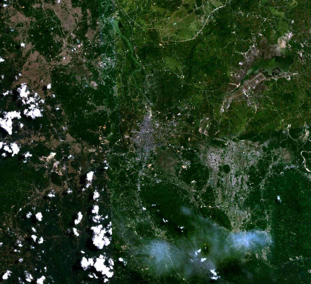
English: Yala, Thailand. Satellite view. |
| Date | 30 June 2005 (upload date) |
| Source | Satellite imagery taken from NASA World Wind software (by screenshot) |
| Author | NASA |
| Object location | | View this and other nearby images on: OpenStreetMap |
|---|
Licensing edit
| This image is in the public domain because it is a screenshot from NASA’s globe software World Wind using a public domain layer, such as Blue Marble, MODIS, Landsat, SRTM, USGS or GLOBE.
|
 |
File history
Click on a date/time to view the file as it appeared at that time.
| Date/Time | Thumbnail | Dimensions | User | Comment | |
|---|---|---|---|---|---|
| current | 16:25, 30 June 2005 | | 1,036 × 946 (191 KB) | Rex (talk | contribs) | ;Yala, Thailand {{World Wind}} |
You cannot overwrite this file.
File usage on Commons
The following page uses this file:
File usage on other wikis
The following other wikis use this file:
- Usage on ar.wikipedia.org
- Usage on be.wikipedia.org
- Usage on ceb.wikipedia.org
- Usage on de.wikivoyage.org
- Usage on el.wikipedia.org
- Usage on en.wikipedia.org
- Usage on en.wikinews.org
- Usage on en.wikivoyage.org
- Usage on fa.wikipedia.org
- Usage on it.wikipedia.org
- Usage on ko.wikipedia.org
- Usage on ms.wikipedia.org
- Usage on nl.wikipedia.org
- Usage on pl.wikipedia.org
- Usage on ru.wikipedia.org
- Usage on th.wikipedia.org
- Usage on tt.wikipedia.org
- Usage on ur.wikipedia.org
- Usage on www.wikidata.org