File:Yangzi River - panoramio.jpg

Size of this preview: 800 × 239 pixels. Other resolutions: 320 × 95 pixels | 640 × 191 pixels | 1,024 × 305 pixels | 1,280 × 382 pixels | 5,651 × 1,685 pixels.
Original file (5,651 × 1,685 pixels, file size: 2.83 MB, MIME type: image/jpeg)
Captions
Captions
Add a one-line explanation of what this file represents
Summary edit
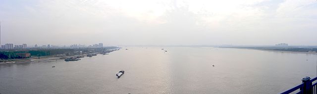
| Description | Yangzi River | ||
| Date | Taken on 30 September 2009 | ||
| Source | https://web.archive.org/web/20161021115501/http://www.panoramio.com/photo/66326257 | ||
| Author | fading | ||
| Permission (Reusing this file) |
This file is licensed under the Creative Commons Attribution-Share Alike 3.0 Unported license. Attribution: fading
|
||
| Tags (from Panoramio photo page) | Wuhan, 2009, Bridge, China, Hubei, Panorama, Tianxing Islet, Wuhan, Yangzi River |
| Camera location | | View this and other nearby images on: OpenStreetMap |
|---|
File history
Click on a date/time to view the file as it appeared at that time.
| Date/Time | Thumbnail | Dimensions | User | Comment | |
|---|---|---|---|---|---|
| current | 13:39, 25 December 2016 | 5,651 × 1,685 (2.83 MB) | Panoramio upload bot (talk | contribs) | == {{int:filedesc}} == {{Information |description=Yangzi River |date={{Taken on|2009-09-30}} |source=http://www.panoramio.com/photo/66326257 |author=[http://www.panoramio.com/user/5397823?with_photo_id=66326257 fading] |permission={{cc-by-sa-3.0|fading... |
You cannot overwrite this file.
File usage on Commons
There are no pages that use this file.