File:Zabaikalskiy krai osm 2019 ru epsg32649.svg

Size of this PNG preview of this SVG file: 545 × 599 pixels. Other resolutions: 218 × 240 pixels | 437 × 480 pixels | 698 × 768 pixels | 931 × 1,024 pixels | 1,863 × 2,048 pixels | 744 × 818 pixels.
Original file (SVG file, nominally 744 × 818 pixels, file size: 2.1 MB)
Captions
Captions
Add a one-line explanation of what this file represents
Summary edit
| Description |
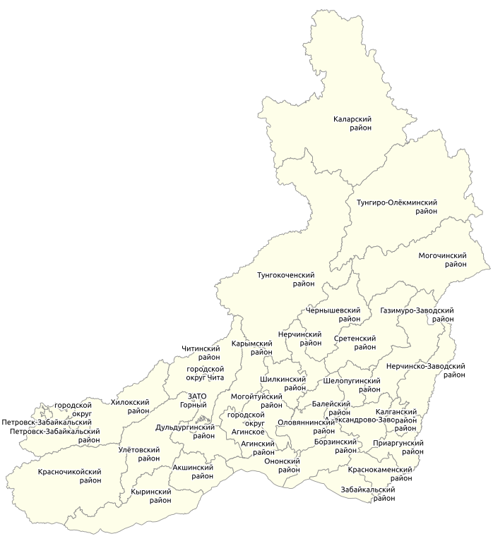
Русский: Карта административного деления Забайкальского края по данным Openstreetmap |
| Date | |
| Source | Own work |
| Creator |
OpenStreetMap contributors / User:Svetlov_Artem |
| Georeferencing | If inappropriate please set warp_status = skip to hide. |
Licensing edit
This file is licensed under the Creative Commons Attribution-Share Alike 4.0 International license.
- You are free:
- to share – to copy, distribute and transmit the work
- to remix – to adapt the work
- Under the following conditions:
- attribution – You must give appropriate credit, provide a link to the license, and indicate if changes were made. You may do so in any reasonable manner, but not in any way that suggests the licensor endorses you or your use.
- share alike – If you remix, transform, or build upon the material, you must distribute your contributions under the same or compatible license as the original.
File history
Click on a date/time to view the file as it appeared at that time.
| Date/Time | Thumbnail | Dimensions | User | Comment | |
|---|---|---|---|---|---|
| current | 13:05, 21 February 2019 | | 744 × 818 (2.1 MB) | Svetlov Artem (talk | contribs) | font size |
| 12:54, 21 February 2019 |  | 744 × 818 (2.1 MB) | Svetlov Artem (talk | contribs) | User created page with UploadWizard |
You cannot overwrite this file.
File usage on Commons
There are no pages that use this file.
File usage on other wikis
The following other wikis use this file:
- Usage on ru.wikipedia.org