File:Zacapoaxtla croquis.jpg

Size of this preview: 467 × 600 pixels. Other resolutions: 187 × 240 pixels | 374 × 480 pixels | 598 × 768 pixels | 797 × 1,024 pixels | 1,594 × 2,048 pixels | 7,242 × 9,304 pixels.
Original file (7,242 × 9,304 pixels, file size: 2.67 MB, MIME type: image/jpeg)
Captions
Captions
Add a one-line explanation of what this file represents
| Warning | The original file is very high-resolution. It might not load properly or could cause your browser to freeze when opened at full size. |
|---|
Summary edit
| Description |
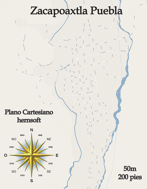
English: Mapa de zacapoaxtla |
| Date | |
| Source | hernsoft, herntito, Ignacio A. Hernandez |
| Author | herntito |
| Permission (Reusing this file) |
herntito, hernsoft
|
Licensing edit
I, the copyright holder of this work, hereby publish it under the following licenses:

|
Permission is granted to copy, distribute and/or modify this document under the terms of the GNU Free Documentation License, Version 1.2 or any later version published by the Free Software Foundation; with no Invariant Sections, no Front-Cover Texts, and no Back-Cover Texts. A copy of the license is included in the section entitled GNU Free Documentation License. |
This file is licensed under the Creative Commons Attribution-Share Alike 4.0 International, 3.0 Unported, 2.5 Generic, 2.0 Generic and 1.0 Generic license.
- You are free:
- to share – to copy, distribute and transmit the work
- to remix – to adapt the work
- Under the following conditions:
- attribution – You must give appropriate credit, provide a link to the license, and indicate if changes were made. You may do so in any reasonable manner, but not in any way that suggests the licensor endorses you or your use.
- share alike – If you remix, transform, or build upon the material, you must distribute your contributions under the same or compatible license as the original.
You may select the license of your choice.
File history
Click on a date/time to view the file as it appeared at that time.
| Date/Time | Thumbnail | Dimensions | User | Comment | |
|---|---|---|---|---|---|
| current | 06:43, 12 April 2010 | | 7,242 × 9,304 (2.67 MB) | Herntito (talk | contribs) | Actualizacion de calles |
| 06:31, 12 April 2010 |  | 7,242 × 9,304 (2.06 MB) | Herntito (talk | contribs) | Reverted to version as of 04:02, 11 April 2010 | |
| 04:14, 11 April 2010 |  | 7,242 × 9,304 (2.68 MB) | Herntito (talk | contribs) | Ya cuenta con su el plano cartesiano y a que altura esta expuesto | |
| 04:02, 11 April 2010 |  | 7,242 × 9,304 (2.06 MB) | Herntito (talk | contribs) | {{Information |Description={{en|1=Mapa de zacapoaxtla}} |Source=Imagen creada para el bien de la ciudadania |Author=herntito |Date=10 de abril de 2010 |Permission= |other_versions= }} |
You cannot overwrite this file.
File usage on Commons
There are no pages that use this file.
File usage on other wikis
The following other wikis use this file:
- Usage on es.wikipedia.org