File:Zaplavená cesta s náledím u Kunštátské kaple.jpg

Size of this preview: 450 × 600 pixels. Other resolutions: 180 × 240 pixels | 360 × 480 pixels | 576 × 768 pixels | 768 × 1,024 pixels | 1,944 × 2,592 pixels.
Original file (1,944 × 2,592 pixels, file size: 2.3 MB, MIME type: image/jpeg)
Captions
Captions
Add a one-line explanation of what this file represents
Summary
edit
| Description |
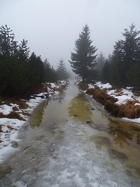
Čeština: Zdobnice-Velká Zdobnice a Orlické Záhoří-Černá Voda, okres Rychnov nad Kněžnou. Zaplavená hřebenová cesta.
English: Zdobnice-Velká Zdobnice and Orlické Záhoří-Černá Voda, Rychnov nad Kněžnou District, Czechia. Flooded path.
|
||||
| Date | Taken on 31 December 2022 | ||||
| Source | Self-photographed | ||||
| Author | ŠJů | ||||
| Permission (Reusing this file) |
I, the copyright holder of this work, hereby publish it under the following license: This file is licensed under the Creative Commons Attribution 4.0 International license. Attribution: ŠJů, Wikimedia Commons
|
File history
Click on a date/time to view the file as it appeared at that time.
| Date/Time | Thumbnail | Dimensions | User | Comment | |
|---|---|---|---|---|---|
| current | 21:15, 22 January 2024 | | 1,944 × 2,592 (2.3 MB) | ŠJů (talk | contribs) | {{Information |Description={{cs|1=cs:Zdobnice-Velká Zdobnice a cs:Orlické Záhoří-cs:Černá Voda (Orlické Záhoří), okres Rychnov nad Kněžnou. Zaplavená hřebenová cesta.}} {{en|1=en:Zdobnice-Velká Zdobnice and en:Orlické Záhoří-Černá Voda, Rychnov nad Kněžnou District, Czechia. Flooded path.}} {{location|50.2487153|16.4505022|region:CZ_heading:160}} |Date= {{Taken on|2022-12-31}}... |
You cannot overwrite this file.
File usage on Commons
There are no pages that use this file.