File:Zeche-Zollern 2134.JPG

Size of this preview: 800 × 536 pixels. Other resolutions: 320 × 214 pixels | 640 × 428 pixels | 1,024 × 685 pixels | 1,280 × 857 pixels | 2,560 × 1,714 pixels | 3,872 × 2,592 pixels.
Original file (3,872 × 2,592 pixels, file size: 12.07 MB, MIME type: image/jpeg)
Captions
Captions
Add a one-line explanation of what this file represents
| Camera location | | View this and other nearby images on: OpenStreetMap |
|---|
| Description |
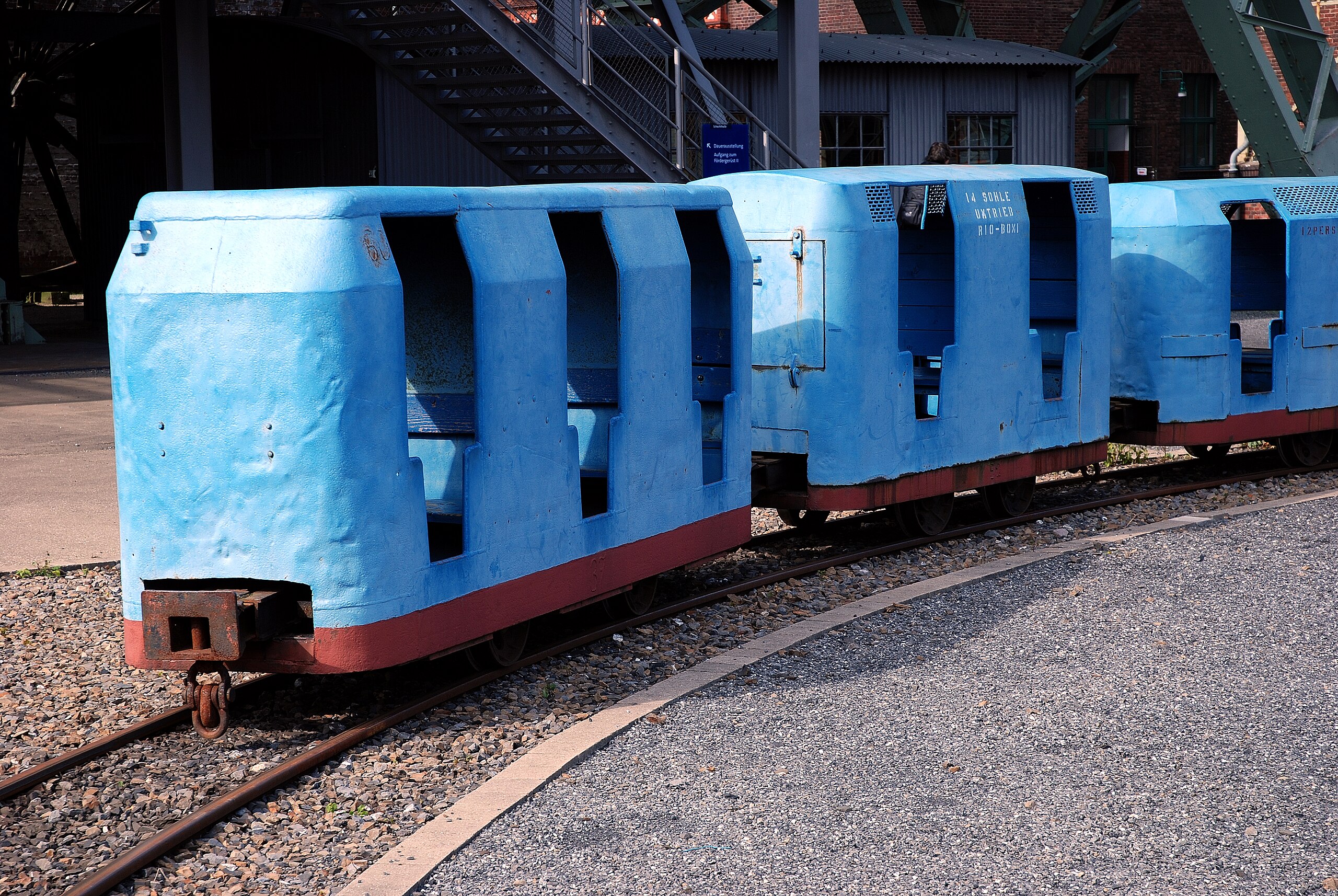
English: coal-mine "Zollern II/IV" in Dortmund, Lorrie |
| Date | |
| Source | Self-photographed |
| Author | Mbdortmund |

|
Permission is granted to copy, distribute and/or modify this document under the terms of the GNU Free Documentation License, Version 1.2 only as published by the Free Software Foundation; with no Invariant Sections, no Front-Cover Texts, and no Back-Cover Texts. A copy of the license is included in the section entitled GNU Free Documentation License. | 1.2 only |
File history
Click on a date/time to view the file as it appeared at that time.
| Date/Time | Thumbnail | Dimensions | User | Comment | |
|---|---|---|---|---|---|
| current | 19:05, 16 September 2008 | | 3,872 × 2,592 (12.07 MB) | Mbdortmund (talk | contribs) | {{Location|51|31|0.7|N|7|20|10.3|E|region:DE-NW_heading:330}} {{Information| |Description= {{de|Zeche "Zollern II/IV" in Dortmund, Lore, de:Dortmund-Bövinghausen; de:Zeche Zollern}} {{en|coal-mine "Zollern II/IV" in Dortmund, Lorrie}} | |
You cannot overwrite this file.
File usage on Commons
The following 2 pages use this file: