User:Yoavd/photos/Israel National Trail part20
Israel National Trail
From Park Afek to Mitzpe Modiin 5/9/09
-
 Rosh HaAyin is a city in the Center District of Israel. To the west of Rosh HaAyin is the fortress of Antipatris and the source of the Yarkon River. This is the starting point of part 20 of the Israel National Trail
 -
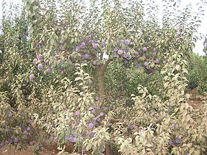 Trees of plums
 -
 Ipomoea imperti
 -
 Urginea maritima
 -

-
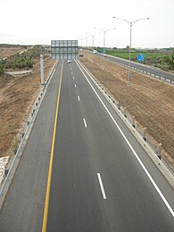 Highway 6 widely known as the Trans-Israel Highway or Cross-Israel Highway "Trans Israel Highway"), is a major electronic toll highway in Israel. On the sign you can read "Modiin 27 km"
 -
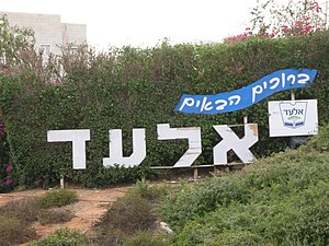 Entrance to El'ad, a city in the Center District of Israel. Located about 25 kilometres east of Tel Aviv on Route 444 between Rosh HaAyin and Shoham
 -
 The Mazor Mausoleum is one of the most impressive and best preserved Roman buildings in Israel, located in El'ad. The Mausoleum, which is the only Roman era building in Israel to still stand from its foundations to its roof, was built for an important Roman man and his wife in the 3rd century CE. Their identities remain a mystery but one can still see the remnants of two sarcophagi in the mausoleum.
 -

-

-

-

-
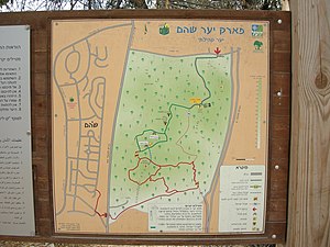
 Israel National Trail partial map
 -

-
 Carob tree
 -
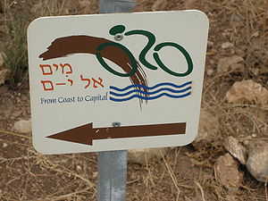 Bicycle trail from coast to capital
 -

-

-
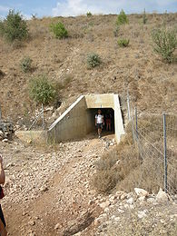 A tunnel under Highway 6
 -

-

-
 The industrial part of Shoham, a town (local council) in the Center District of Israel.
 -

-
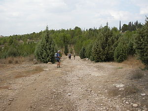
 Shoham forest park
 -
-

-
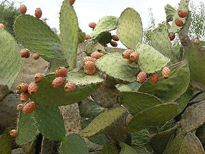 Opuntia ficus-indica or barbary fig) is a species of cactus and a long-domesticated crop plant grown primarily as a fruit crop, but also for the vegetable nopales and other uses.
 -
 The climb from Highway 6 to the mountain
 -
 Tel Hadid archaelogical site
 -
 Highway 6 as seen after the climb


