California
state of the United States of America

Deutsch: Kalifornien ist ein Bundesstaat im Westen der USA an der Pazifikküste.
Español: California es un estado en el Suroeste de los Estados Unidos, que limita al Occidente con el Océano Pacifico y al Sur con México.
فارسی: کالیفرنیا (به انگلیسی: California) ایالتی در غرب آمریکا بر کرانهٔ اقیانوس آرام است. مرکز آن ساکرامنتو و شهرهای مهم آن لسآنجلس، سن دیگو، سن خوزه و سانفرانسیسکو هستند.
Français : La Californie est l'État des États-Unis le plus peuplé, avec plus de 38,4 millions d'habitants en 2006.
Հայերեն: Կալիֆորնիա, նահանգ ԱՄՆ-ի արևմտյան մասում։ Տարածքը 423 հազար կմ քառակուսի։ Վարչական կենտրոնը՝ Սակրամենտո։
日本語: カリフォルニア州(英: State of California)は、アメリカ合衆国西部、太平洋岸の州。
한국어: 캘리포니아 주(영어: State of California)는 미국 서부 해안선의 반 정도를 차지하는 주로, 현재 미국에서 가장 인구가 많은 주이다. 현재의 주지사는 제리 브라운이다.
Русский: Калифорния - штат в Соединённых Штатах Америки, находящийся на Тихоокеанском побережье, имеющий сухопутную границу с Мексикой
Tiếng Việt: California (phát âm như "Ca-li-pho-ni-a" hay "Ca-li-phoóc-ni-a", nếu nhanh: "Ca-li-phoóc-nha"), còn được người Việt gọi vắn tắt là Ca Li, là một tiểu bang ven biển phía tây của Hoa Kỳ.
粵語: 加州,喺美國西岸。
中文(简体):加利福尼亚州(英语:State of California,简称加州)是美国西部太平洋沿岸的一个州。
中文(繁體):加利福尼亞州(英語:State of California,簡稱加州)是美國西部太平洋沿岸的一個州。
Maps and Diagrams
edit-
 California population map / Mapa de la población de California
 -
 Locator Map of California
 -
 road map
 -
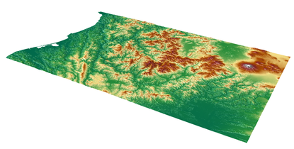 Trinity Alps - Northern California


County maps
editFor location maps for counties in California go to Category:Locator maps of counties of California
Para las mapas de localización de condados de California, véase Category:Locator maps of counties of California
-
 Location of California
Localización del estado

The Images have the following name syntax:
Image:California map showing Name County.png
Replace Name with the name of the county .
Examples:
Image:California map showing Amador County.png
Image:California map showing Orange County.png
Insignia
edit-
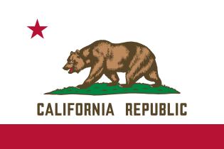 California state flag
 -
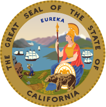 Seal of California
 -
 Welcome Sign


Nature and parks
edit-

 Seagull
 -
 Surfing
 -

-

-
 Marmot on top of Mount Dana
 -

-

-

-

-

-
-

-

-
-


Cities
edit-
-

-

-

-
 San Francisco
 -

-
-

-

-
-

-
-
-

-
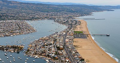 Newport beach


Satellite pictures
edit-
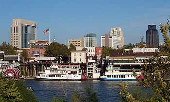
 Sacramento
 -
 Los Angeles
 -
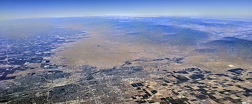
 Los Angeles Basin
 -
 Palm Springs
 -
 San Diego
 -
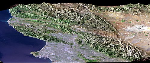
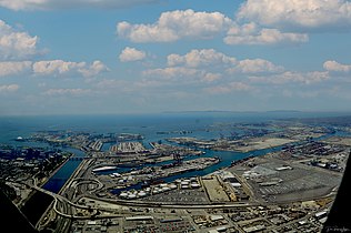
 San Francisco Bay
 -
 bay area
 -
 San Francisco Peninsula
 -
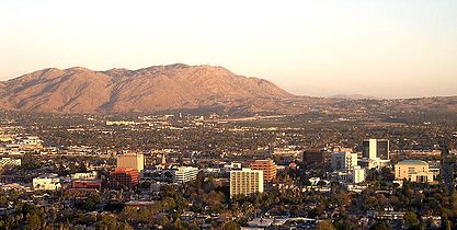
 Santa Barbara
 -
 Pyrocumulus from Creek Fire (2020)
 -

-


.jpg)


.jpg)
Economy
edit-
 Hollywood: Entertainment
 -
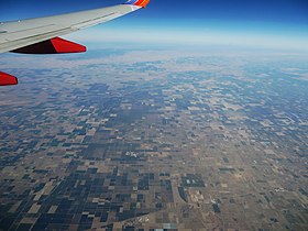 Central Valley: Agricultural
 -
 Silicon Valley: High tech
 -
 Apple corporate campus
 -
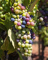 Grapes, Sonoma County

.jpg)


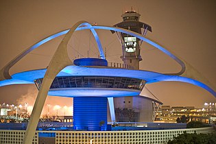
Transportation
editMain gallery: Transport in California.
-

-
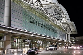
 San Francisco International Airport, at night
 -
 A freeway interchange along the Glendale Freeway
 -
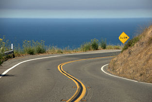 California State Route 1, California's Pacific Coast highway
 -
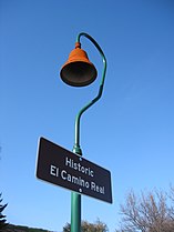 A historical marker situated along El Camino Real.
 -
-
-
-

-
 Old and new Bay Bridges


History
edit-
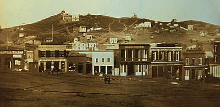 San Francisco, 1851
 -
 San Francisco Earthquake, 1906
 -
 Aftermath of 1906 Earthquake
 -
 Manzanar Relocation Center, 1943
 -
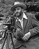 Ansel Adams, 1950


