Category:1630s maps of Quebec
Provinces and territories of Canada: Quebec ·
Media in category "1630s maps of Quebec"
The following 2 files are in this category, out of 2 total.
-
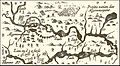 Champ1632 82.jpg 1,845 × 1,009; 936 KB
-
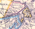 Pointe-Saint-Mathieu.png 670 × 548; 697 KB

