Category:1690s maps of Eastern Europe
Media in category "1690s maps of Eastern Europe"
The following 10 files are in this category, out of 10 total.
-
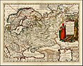 Moscoviae seu Russiae Magnae Generalis Tabula 1690 (Jacob Sandrart).jpg 2,314 × 1,850; 5.52 MB
-
 Tabula nova totius regni Poloniae Amsterdam, Visscher Nicolas (Amsterdam, 1690).jpg 5,531 × 4,263; 5.36 MB
-
 Vkraina-Cosaques-Okraina.png 936 × 715; 1.77 MB
-
 1692 – “La Russie blanche ou Moscovie Alexis-Hubert Jaillot (París).jpg 1,664 × 1,962; 1.06 MB
-
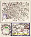
 Atlante Veneto Volume 1 057.jpg 6,781 × 9,688; 7.85 MB
-
 Atlante Veneto Volume 2 102.jpg 7,039 × 10,616; 8.3 MB
-
 Poland and Lithuania - by Carolo Allard - 1696 AD.jpg 7,089 × 6,039; 11.16 MB
-
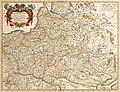
 Regni Poloniae Magni Ducatus Lithuaniae Tabula Carolo Allard.jpg 2,093 × 1,792; 4.6 MB
-
 Regni Poloniae Magni Ducatus Lithuaniae.jpg 7,600 × 6,400; 37.18 MB
-
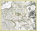
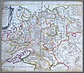 Moscovia Peter Schenk 1690.jpg 1,236 × 1,077; 437 KB
.jpg)
.jpg)

.jpg)


