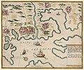
Category:1730s maps of Croatia
Media in category "1730s maps of Croatia"
The following 3 files are in this category, out of 3 total.
-
1731 map of the middle part of the Danube by Johann Baptist Homann.jpg 16,547 × 13,854; 43.09 MB
-
Regnum Bosniae, una cum finitimis Croatiae, Damatiae, Slavoniae, Hung et Servia partibus.jpg 3,070 × 1,400; 5.31 MB


