Category:1840s maps of Rhineland-Palatinate
|
Federal states of Germany: |
Subcategories
This category has the following 2 subcategories, out of 2 total.
Media in category "1840s maps of Rhineland-Palatinate"
The following 2 files are in this category, out of 2 total.
-
-
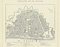
 Plan der Stadt Bingen.jpg 5,527 × 3,686; 4.99 MB
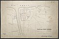
.jpg)
