Category:18th-century maps of Oise
Subcategories
This category has the following 3 subcategories, out of 3 total.
Media in category "18th-century maps of Oise"
The following 2 files are in this category, out of 2 total.
-
 Département de l'Aisne - 1789.png 775 × 839; 645 KB
-
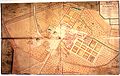 Plan abbaye de froidmont hermes.jpg 3,072 × 1,943; 1,010 KB

