Category:1928 maps of Massachusetts
States of the United States: California · Idaho · Illinois · Kansas · Massachusetts · Michigan · Minnesota · New York · North Dakota · South Dakota · Vermont – Washington, D.C.
| 1920 1921 1922 1924 1925 1926 1927 1928 1929 |
Subcategories
This category has only the following subcategory.
Media in category "1928 maps of Massachusetts"
The following 2 files are in this category, out of 2 total.
-
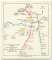 1928 BERy rapid transit map.png 3,500 × 3,986; 19.76 MB
-
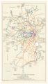 1928 BERy system map.png 3,500 × 6,078; 31.04 MB
