Category:1950s maps of Israel
Subcategories
This category has only the following subcategory.
S
- Survey of Israel 1950s 1-20,000 maps (160 F)
Media in category "1950s maps of Israel"
The following 32 files are in this category, out of 32 total.
-
 HulaArabic.png 530 × 810; 97 KB
-
 HulaArabic.svg 534 × 855; 188 KB
-
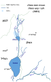
 HulaHebrew (cropped).png 489 × 489; 59 KB
-
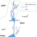
 HulaHebrew.png 489 × 810; 88 KB
-
 HulaHebrew.svg 534 × 855; 124 KB
-
 Israel Entry Law blue line map.jpg 975 × 1,460; 683 KB
-
 Al 'Awja Neutral Zone.jpg 494 × 885; 394 KB
-
 Ayalon River.jpg 1,274 × 1,091; 595 KB
-
 NaharayimBaqura.jpg 1,300 × 1,358; 692 KB
-

-

-

-

-
 Biriya1954.png 2,231 × 2,373; 3.66 MB
-
 Tichon1954.jpg 793 × 670; 406 KB
-
 Historical map series for the area of al-Safiriyya (1955).jpg 740 × 743; 190 KB
-

-
 Alonei-Abba-1956.png 1,530 × 1,548; 1.62 MB
-
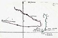
 Ibrelawaltargets.jpg 640 × 430; 158 KB
-
 Kersaintpath.JPG 640 × 421; 51 KB
-
 La presse Tunisie 1956 20.jpg 2,043 × 3,283; 3.4 MB
-
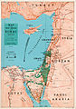
 Lands of the Bible, 1956.jpg 4,852 × 3,404; 8.38 MB
-
 Shapiro War map 1956 35x50cm.jpg 274 × 390; 66 KB
-
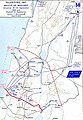
 THaifaBattleMap.jpg 3,081 × 2,426; 1.27 MB
-
 Historical map series for the area of al-Safiriyya (1957).jpg 740 × 743; 175 KB
-
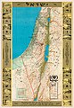 Shapiro Israel Ornamented 1957 43x62cm.jpg 1,687 × 2,434; 1.03 MB
-
 Tel Aviv Beit Hadar station.jpg 1,499 × 1,626; 432 KB
-
 Tel Aviv Central railway station.jpg 1,936 × 2,954; 824 KB
-
 Battle of Bait Daras.jpg 2,048 × 1,536; 723 KB
-
 Palestine-WW1-3.jpg 588 × 848; 104 KB
-
 Haifabattle56.jpg 640 × 436; 62 KB
-
 PikiWiki Israel 47314 Maabara (transfer camp) map.jpg 3,024 × 4,032; 5.45 MB


.png)


_showing_%27Israel%27_LOC_matpc.12992.jpg)


.jpg)


.jpg)


_map.jpg)