Category:1970 maps of the United Kingdom
Media in category "1970 maps of the United Kingdom"
The following 5 files are in this category, out of 5 total.
-
 Ketton Rural District, Rutland (1970).svg 612 × 570; 59 KB
-
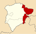
 Oakham Rural District, Rutland (1970).svg 612 × 570; 59 KB
-
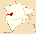 Oakham Urban District, Rutland (1970).svg 612 × 570; 59 KB
-
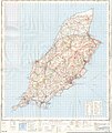 Ordnance Survey One-Inch Sheet 87 Isle of Man, Published 1970.jpg 11,049 × 13,159; 48.94 MB
-
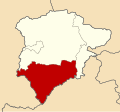 Uppingham Rural District, Rutland (1970).svg 612 × 570; 59 KB
.svg)
.svg)
.svg)

.svg)