Category:Aerial photographs of Tongatapu islands
Media in category "Aerial photographs of Tongatapu islands"
The following 13 files are in this category, out of 13 total.
-
 'Atā island, Tonga (Tongatapu).jpg 4,084 × 2,723; 9.01 MB
-
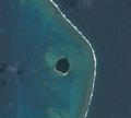
 'Eueiki satellite view.png 1,906 × 2,076; 2.04 MB
-
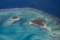
 'Onevao, 'Onevai, Velitoa Hahake and Velitoa Hihifo, Fafa satellite view.png 3,785 × 1,892; 3.14 MB
-
 Nuku’alofa, Tonga.jpg 6,086 × 3,804; 4.3 MB
-
 Tonga - Fukave island (cropped).jpg 2,038 × 1,507; 2.45 MB
-
 Tonga ESA363260.tiff 3,921 × 3,257; 73.1 MB
-
 Tonga nuku fukave.jpg 4,961 × 3,307; 11.85 MB
-
 TONGATABU & EUA ISLANDS.JPG 4,000 × 4,000; 926 KB
-
 Tongatapu and islets satellite view.png 20,483 × 14,121; 127.64 MB
-
 ʻAtā island in Tongatapu.jpg 4,064 × 2,128; 2.37 MB
-
 ʻAtā satellite view.png 2,067 × 1,859; 1.94 MB
-
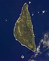 ʻEuaFromTheISS(Cropped).jpg 2,000 × 2,500; 343 KB
-
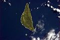 ʻEuaFromTheISS.jpg 1,024 × 679; 109 KB
.jpg)


.jpg)


.jpg)
