Category:Aerial photographs of mines in Canada
Media in category "Aerial photographs of mines in Canada"
The following 19 files are in this category, out of 19 total.
-
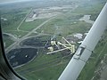
 Con mine aerial.jpg 800 × 600; 103 KB
-
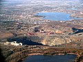 Dome Mine 2.JPG 1,024 × 768; 327 KB
-
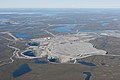 Ekati mine 640px.jpg 640 × 427; 194 KB
-
 Hastings County Archives 2017-85-11 (37346685025).jpg 1,973 × 1,370; 302 KB
-
 Hastings County Archives 2017-91-06 (37070933734).jpg 1,968 × 1,369; 1.51 MB
-
 Hope Bay Gold Mine 01.jpg 3,648 × 2,736; 3.81 MB
-
 Hope Bay Gold Mine 05.jpg 3,648 × 2,736; 4.55 MB
-
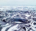 Jericho Diamond Mine pit Nunavut Canada.jpg 1,090 × 932; 477 KB
-
 Kemess Mine in 2012.JPG 5,184 × 3,456; 5.05 MB
-
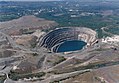
 Kidd Mine 2.JPG 1,195 × 744; 135 KB
-
 Luscar Beinfait Coal Mine (625142200).jpg 3,264 × 2,448; 1.01 MB
-
 McArthur River Uranium Mine.jpg 2,865 × 887; 634 KB
-
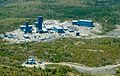 Nickel Rim South mine.JPG 1,389 × 879; 226 KB
-
 PJV-Dome-Mine-Super-Pit.jpg 1,725 × 1,241; 2.06 MB
-
 Sherman Mine areal.jpg 444 × 274; 23 KB
-
 Sherman Mine South Pit from air 2.jpg 1,840 × 1,232; 651 KB
-
 Sherman Mine South Pit from air.jpg 1,840 × 1,232; 715 KB
-
 Temagami and Sherman Mine from air.jpg 1,840 × 1,232; 477 KB
-
 Thompson Mining Operations.jpg 4,160 × 2,340; 2.97 MB


.jpg)
.jpg)


.jpg)


