Category:Col de la Rochette
| Object location | | View all coordinates using: OpenStreetMap |
|---|
| Upload media | |||||
| Instance of | |||||
|---|---|---|---|---|---|
| Location | |||||
| Mountain range | |||||
| Elevation above sea level |
| ||||
 | |||||
Media in category "Col de la Rochette"
This category contains only the following file.
-
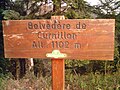 Hauteville panneau Curnillon.jpg 2,592 × 1,944; 1.01 MB
