Category:Dive site maps of New Zealand
Maps showing position and other details of dive sites in New Zealand
Media in category "Dive site maps of New Zealand"
The following 9 files are in this category, out of 9 total.
-
 Alderman Islands dive map.png 3,000 × 2,701; 1.14 MB
-
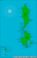
 Coromandel Peninsula dive map.png 3,000 × 3,545; 761 KB
-
 Cuvier Island dive map.png 3,000 × 2,723; 703 KB
-
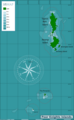
 Mayor Island dive map.png 3,000 × 2,684; 792 KB
-
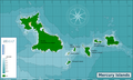 Mercury Islands dive map.png 3,000 × 1,802; 791 KB
-
 Poor Knights Islands dive map.png 1,844 × 3,000; 554 KB
-
 Poor Knights Islands dive sites.png 1,928 × 3,000; 542 KB
-
 Three Kings Islands dive map.png 3,000 × 2,020; 918 KB
-
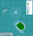 White Island and Volkner Rocks dive map.png 2,796 × 3,000; 823 KB


