Category:Geographical maps of Budapest Metro
Media in category "Geographical maps of Budapest Metro"
The following 27 files are in this category, out of 27 total.
-
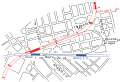
 Bamco abra 9eb258d1275a.jpg 420 × 269; 39 KB
-
 Budapest M1 Metro map.png 600 × 572; 15 KB
-
 Budapest M2 Metro map.png 600 × 572; 15 KB
-
 Budapest M3 Metro map.png 600 × 572; 15 KB
-
 Budapest M4 Metro map.png 600 × 572; 15 KB
-
 Budapest Metro 5.PNG 562 × 537; 60 KB
-
 Budapest metro 5.svg 512 × 613; 49 KB
-
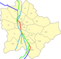
 Budapest Metro Geographical Map.SVG 238 × 225; 24 KB
-
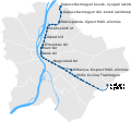
 Budapest metro line 2 reconstruction.svg 512 × 149; 14 KB
-
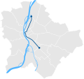
 Budapest Metro Lines.SVG 600 × 566; 25 KB
-
 Budapest metro map 3.svg 512 × 523; 47 KB
-
 Budapest Metro Map.SVG 256 × 225; 38 KB
-
 Budapest metro network 1.svg 600 × 566; 67 KB
-
 Budapest metro network 2.svg 600 × 566; 67 KB
-
 Budapest metro network 3 plan (1897).svg 512 × 483; 46 KB
-
 Budapest metro network 3 plan (1912).svg 512 × 483; 46 KB
-
 Budapest metro network 3 plan (1921).svg 512 × 483; 46 KB
-
 Budapest metro network 3 plan (1925).svg 512 × 483; 46 KB
-
 Budapest metro network 3 plan (1942).svg 512 × 483; 46 KB
-
 Budapest metro network 3 plan (1978).svg 512 × 483; 54 KB
-
 Budapest metro network 3.svg 600 × 566; 67 KB
-
 Budapest metro osszekoto.svg 512 × 351; 22 KB
-
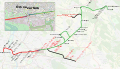
 Budapest metro tervek 2007.svg 512 × 477; 872 KB
-
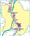
 M2G projekt térképe.svg 2,159 × 1,247; 2.66 MB
-
 M3-as metró káposztásmegyeri szakasza.png 2,520 × 3,864; 1.75 MB
-
 M3-as metró nyomvonalterv (1978).png 2,152 × 2,512; 737 KB
-
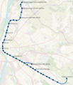
 Észak-déli regionális gyorsvasút I. ütem.svg 1,591 × 1,610; 1.7 MB


.svg)
.svg)
.svg)
.svg)
.svg)
.svg)


.png)
