Category:Geological maps of Ferrère (Hautes-Pyrénées)
Media in category "Geological maps of Ferrère (Hautes-Pyrénées)"
The following 5 files are in this category, out of 5 total.
-
 65175-Ferrère-Géologie-Leg.pdf 2,481 × 1,754, 2 pages; 7.44 MB
-
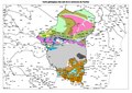
 65175-Ferrère-Géologie.png 7,015 × 4,960; 7.43 MB
-
 65023-Ardengost-Géologie.png 7,015 × 4,960; 3.09 MB
-
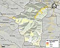 65175-Ferrère-argile.jpg 3,057 × 2,480; 860 KB
-
 65408-Sarrancolin-Géologie.png 7,015 × 4,960; 6.43 MB


