Category:Geological maps of Mauritania
Media in category "Geological maps of Mauritania"
The following 4 files are in this category, out of 4 total.
-
 Map of south-eastern Mauritania with archaeological sites and geological features.jpg 2,128 × 1,772; 632 KB
-
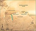 Map showing the highlands of southeastern Mauritania.jpg 746 × 646; 121 KB
-
 Mauritania Hydrogeology5.png 616 × 944; 35 KB
-
 Mauritania UnconsolidatedGeology2.png 742 × 915; 28 KB


