Category:Locator maps of former countries of Europe
Subcategories
This category has the following 22 subcategories, out of 22 total.
*
A
C
F
G
H
N
O
P
R
S
W
Y
~
Media in category "Locator maps of former countries of Europe"
The following 71 files are in this category, out of 71 total.
-
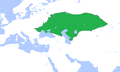
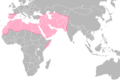 Umayyad-Empire.png 680 × 451; 24 KB
-
 A map of Saxony and Prussia in 1789.jpg 781 × 565; 49 KB
-
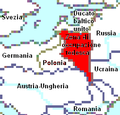
 Alex K Halych-Volhynia general.png 462 × 365; 43 KB
-
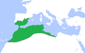 Almohads1200.png 846 × 526; 19 KB
-
 Almoravids1120.png 1,116 × 692; 30 KB
-
 Courland1600.png 1,256 × 768; 38 KB
-
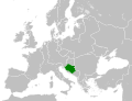 Croatia circa 843 CE.svg 500 × 380; 1.09 MB
-
 Danelaw 889.png 393 × 224; 5 KB
-
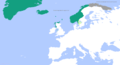
 Denmark-Norway in 1780.PNG 949 × 926; 21 KB
-
 Empire of Trebizond 1300 Map.png 1,757 × 1,701; 50 KB
-
 Europe location SR Macedonia.png 1,600 × 1,200; 710 KB
-
 GoldenHorde1300.png 1,436 × 864; 47 KB
-
 Hohenzollern-Hechingen.png 306 × 258; 16 KB
-
 Hohenzollern-Hechingen.svg 918 × 774; 54 KB
-
 Hohenzollern-Sigmaringen.png 306 × 258; 16 KB
-
 Hohenzollern-Sigmaringen.svg 918 × 774; 54 KB
-
 Karte-Oldenburg-Ex.png 518 × 1,047; 20 KB
-
 Karte-Oldenburg.png 819 × 1,403; 20 KB
-
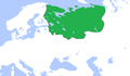
 Khazaria750.png 1,264 × 788; 40 KB
-
 KievanRus1000.png 890 × 572; 26 KB
-
 Kingdom of Bernicia 550.png 393 × 224; 5 KB
-
 Kingdom of Deira 550.png 393 × 224; 5 KB
-
 Kingdom of East Anglia 803.png 393 × 224; 5 KB
-
 Kingdom of Essex 803.png 393 × 224; 5 KB
-
 Kingdom of Kent 803.png 393 × 224; 5 KB
-
 Kingdom of Mercia 803.png 393 × 224; 5 KB
-
 Kingdom of Northumbria 803.png 393 × 224; 5 KB
-
 Kingdom of Sussex 803.png 393 × 224; 5 KB
-
 Kingdom of Wessex 803.png 393 × 224; 5 KB
-
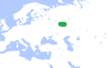
 Komancha Republic.png 1,200 × 1,000; 70 KB
-
 LocationFinland(1917-1918).png 250 × 125; 17 KB
-
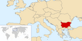 LocationPeoplesRepublicofBulgaria1988.png 990 × 497; 108 KB
-
 Locator Imperial City of Aachen (1350).svg 2,818 × 3,608; 427 KB
-
 MANCOMUNIDAD DE ARAGON.png 832 × 496; 130 KB
-
 Mohammad adil-Rashidun empire-slide.gif 1,196 × 580; 84 KB
-
 Moscow1500.png 938 × 546; 24 KB
-
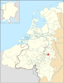
 Mulgouw2.jpg 1,181 × 1,144; 201 KB
-
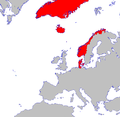
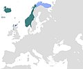
 Norway About 1265.png 1,219 × 659; 26 KB
-
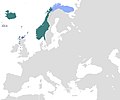
 Norway1265.png 1,219 × 659; 38 KB
-
 Norway1300.png 1,316 × 792; 40 KB
-
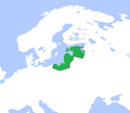
 Norwegian Hereditary Empire excluding Greenland.png 1,200 × 1,000; 31 KB
-
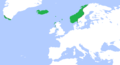
 Norwegian realm map, 1263.png 999 × 382; 114 KB
-
 Novgorod1400.png 900 × 560; 24 KB
-
 Oberost1918.PNG 247 × 237; 7 KB
-
 Old Great Bulgaria map..gif 1,000 × 750; 1.5 MB
-
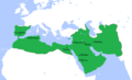
 OttomanEmpire1600.png 1,357 × 821; 44 KB
-
 Palatinate in Rhineland-Palatinate.png 371 × 480; 39 KB
-
 Papal States 1861.svg 450 × 456; 830 KB
-
 PolandLithuania1600.png 944 × 566; 27 KB
-
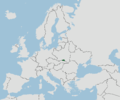
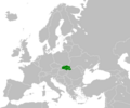
 Principauty of Transylvania Locator.png 1,200 × 1,000; 50 KB
-
 Principauty of Upper Hungary Locator.png 1,200 × 1,000; 49 KB
-
 Pskov1400.png 1,256 × 768; 38 KB
-
 Reino de Aragon rus.svg 1,481 × 1,242; 240 KB
-
 Russia1600.png 1,264 × 788; 41 KB
-
 RussianEmpire1600.png 2,264 × 1,064; 83 KB
-
 RussianEmpire1700.png 2,264 × 1,064; 85 KB
-
 TeutonicOrder1400.png 568 × 491; 14 KB
-
 Umayyad Caliphate (greatest extent).svg 553 × 553; 298 KB
-
 Umayyad750ADloc-ar.png 1,481 × 902; 46 KB
-
 Umayyad750ADloc-zh.png 1,481 × 902; 51 KB
-
 Umayyad750ADloc.png 1,481 × 902; 44 KB
-
 Visigothic Kingdom1.png 4,592 × 3,196; 585 KB
-
 Visigothic Kingdom2.png 4,592 × 3,196; 582 KB
-
 VolgaBulgaria1200.png 1,264 × 788; 38 KB
-
 WorldWarIILocationMapAL.png 630 × 766; 23 KB
-
 Эпирский деспотат 1205 1230.svg 637 × 600; 183 KB
-
 Օմայյան խալիֆայություն.png 800 × 487; 91 KB
-
 ממלכת נורווגיה 1293.jpg 1,194 × 988; 89 KB
-
 ממלכת נורווגיה בשנת 1263.jpg 1,200 × 1,000; 41 KB
-
 خارطة الدولة الأموية.png 2,554 × 1,937; 264 KB
-
 倭馬亞王朝版圖.svg 889 × 853; 1.4 MB


.png)

.svg)


.svg)


