Category:Locator maps of municipalities of Rethymnon prefecture
Media in category "Locator maps of municipalities of Rethymnon prefecture"
The following 26 files are in this category, out of 26 total.
-
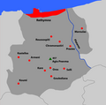
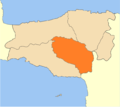 2010 Amari municipality.png 675 × 600; 51 KB
-
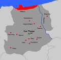
 2010 Anogeia municipality.png 675 × 600; 51 KB
-
 2010 Dimi Rethymnis numbered.svg 1,520 × 1,350; 43 KB
-
 2010 Dimos Agiou Vasiliou.svg 1,520 × 1,350; 35 KB
-
 2010 Dimos Amariou.svg 1,520 × 1,350; 35 KB
-
 2010 Dimos Anogion.svg 1,520 × 1,350; 35 KB
-
 2010 Dimos Mylopotamou.svg 1,520 × 1,350; 35 KB
-
 2010 Dimos Rethymnou.svg 1,520 × 1,350; 35 KB
-
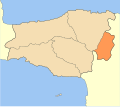
 2010 mylopotamos municipality.png 672 × 599; 45 KB
-
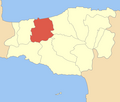
 Dimos Anogion.png 600 × 508; 37 KB
-
 Dimos Arkadiou.png 600 × 508; 37 KB
-
 Dimos Finikas.png 600 × 508; 37 KB
-
 Dimos Geropotamou.png 600 × 508; 37 KB
-
 Dimos Kouloukona.png 600 × 508; 37 KB
-
 Dimos Kouriton.png 600 × 508; 37 KB
-
 Dimos Lambis.png 600 × 508; 37 KB
-
 Dimos Lappeon.png 600 × 508; 37 KB
-
 Dimos Nikiforou Foka.png 600 × 508; 37 KB
-
 Dimos Rethymnou.png 600 × 508; 37 KB
-
 Dimos Sivritou.png 600 × 508; 37 KB
-
 Finikas villages greek.PNG 1,000 × 700; 71 KB
-
 Finikas.png 1,000 × 700; 89 KB
-
 Kinotita Zonianon.png 600 × 508; 37 KB
-
 RethDdD3.png 700 × 697; 48 KB
-
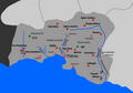
 Rethimno villages greek.PNG 700 × 697; 43 KB
-
 Rethymnon municipalities numbered.png 800 × 677; 61 KB


