Category:Locator maps of the Empire of Japan
Media in category "Locator maps of the Empire of Japan"
The following 39 files are in this category, out of 39 total.
-
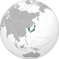
 Japanese Empire (orthographic projection).svg 600 × 600; 665 KB
-
 China-nanjing.png 599 × 599; 143 KB
-
 Empire of Japan (1868-1945).png 1,000 × 600; 180 KB
-
 Empire of Japan (1868-1945).svg 774 × 495; 448 KB
-
 Empire of Japan (1930) territories.svg 600 × 600; 381 KB
-
 Empire of Japan (1930).svg 600 × 600; 304 KB
-
 Empire of Japan on the globe (de-facto) (Japan centered) svg.png 1,024 × 1,024; 426 KB
-
 Empire of Japan-stub.jpg 313 × 500; 33 KB
-
 Empire of Japan.png 1,000 × 1,000; 260 KB
-
 Free India orthographic map.png 1,000 × 1,000; 290 KB
-
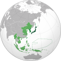
 Greater Asian Co-prosperity sphere.png 1,000 × 1,000; 263 KB
-
 Greater Japanese empire.png 1,004 × 1,004; 280 KB
-
 ImperioJapones.png 1,427 × 628; 48 KB
-
 Japanese China.svg 600 × 600; 649 KB
-
 Japanese Dutch East Indies, Furthest Extent.png 3,163 × 1,847; 363 KB
-
 Japanese Empire - 1942.svg 1,100 × 837; 875 KB
-
 Japanese empire.png 1,004 × 1,004; 277 KB
-
 Japanese Hong Kong.svg 600 × 600; 645 KB
-
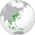
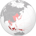 Japanese Indies.svg 600 × 600; 649 KB
-
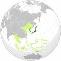
 Japanese Korea (orthographic projection).svg 600 × 600; 515 KB
-
 Japanese Philippines.svg 600 × 600; 644 KB
-
 Japanese Taiwan.svg 600 × 600; 644 KB
-
 Karafuto.png 1,000 × 1,000; 287 KB
-
 Karafuto.svg 600 × 600; 667 KB
-
 Korea in Empire of Japan.svg 600 × 600; 644 KB
-
 Korea in japanese empire.png 1,000 × 1,000; 287 KB
-
 Location Empire of Japan.png 298 × 148; 6 KB
-
 Location Japanese Empire.png 298 × 148; 6 KB
-
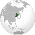 Manchu State.png 998 × 999; 264 KB
-
 Manchukuo in Empire of Japan.svg 600 × 600; 1.17 MB
-
 Manchukuo locator map.svg 1,260 × 1,003; 2.66 MB
-
 Map world.png 2,753 × 1,400; 154 KB
-
 Mengjiang.png 599 × 599; 147 KB
-
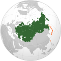 Russian Empire Empire of Japan Locator (1905–1910).svg 541 × 541; 363 KB
-
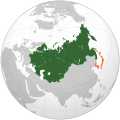 Russian Empire Empire of Japan Locator (1910–1917).svg 541 × 541; 363 KB
-
 Russian Empire Empire of Japan Locator.png 1,357 × 628; 44 KB
-
 State of Burma orthographic map V2.png 1,000 × 1,000; 267 KB
-
 State of Burma orthographic map.png 1,000 × 1,000; 291 KB
-
 Vietnam within the Japanese Empire (orthographic projection).svg 600 × 600; 525 KB
.svg)

.png)
.svg)
_territories.svg)
.svg)
_(Japan_centered)_svg.png)


.svg)


.svg)
.svg)


.svg)