Category:Maps of Beijing under the People's Republic of China
Media in category "Maps of Beijing under the People's Republic of China"
The following 12 files are in this category, out of 12 total.
-

-
 Beijing 1950.jpg 6,067 × 8,881; 11.45 MB
-
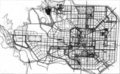
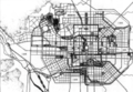
 Beijing 1968 I.jpg 2,319 × 1,280; 633 KB
-
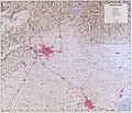 Beijing 1986 Vicinity.jpg 10,312 × 8,822; 15.06 MB
-
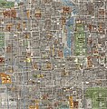 Beijing 1988.jpg 850 × 865; 365 KB
-
 Beijing location map.png 1,697 × 1,163; 1.8 MB
-
 Chen's Design for Urban Planning of Beijing.png 696 × 416; 369 KB
-
 Final Design for Urban Planning of Beijing.png 696 × 428; 413 KB
-
 Hua's Design for Urban Planning of Beijing.png 874 × 608; 725 KB
-
 Peiping Map 1954.jpg 3,468 × 4,291; 14.32 MB
-
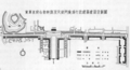 Soviet Design for the Center of Bejing.png 1,026 × 556; 631 KB
-
 北京城市总体规划(2004年—2020年) - 北京旧城文物保护单位及历史文化保护区规划图.jpg 450 × 450; 109 KB
_-_Geographicus_-_BeijingTopo-gov-1954.jpg)


