Category:Maps of Boston Harbor Islands National Recreation Area
English: Maps of Boston Harbor Islands National Recreation Area
Media in category "Maps of Boston Harbor Islands National Recreation Area"
The following 13 files are in this category, out of 13 total.
-
 Boston Harbor Islands National Recreation Area.png 1,722 × 2,268; 1.34 MB
-
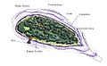
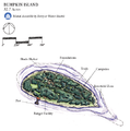 BumpkinIsland.png 534 × 538; 186 KB
-
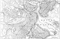 EB9 Boston.jpg 2,559 × 1,681; 961 KB
-
 Georges Island, Boston, Massachusetts.png 644 × 659; 607 KB
-
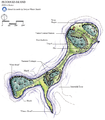
 Long and Moon Islands, Boston Harbor, Boston, Massachusetts.png 799 × 1,062; 671 KB
-
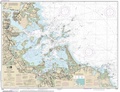 NPS boston-harbor-islands-chart.pdf 6,839 × 5,260; 7.89 MB
-
 NPS boston-harbor-islands-map-bumpkin-island.jpg 788 × 489; 72 KB
-
 NPS boston-harbor-islands-map-georges-island.jpg 891 × 930; 184 KB
-
 NPS boston-harbor-islands-map-lovells-island.jpg 774 × 726; 86 KB
-
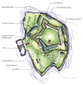
 NPS boston-harbor-islands-map-peddocks-island.jpg 1,032 × 1,071; 167 KB
-
 NPS boston-harbor-islands-map-thompson-island.jpg 981 × 996; 193 KB
-
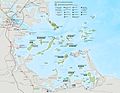 NPS boston-harbor-islands-map.jpg 2,315 × 1,795; 528 KB
-
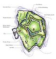
 PeddocksIsland.png 576 × 661; 301 KB


